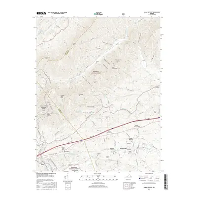
2016 Map of Rural Retreat
USGS Topo · Published 2016About this map
Rural Retreat and its neighboring communities sit within a complex valley system shaped by the Tennessee Valley Divide, where the waters of the Middle Fork Holston River and N Fork Holston River originate. The settlement pattern follows the lower elevations between Walker Mtn and Brushy Mtn, with a series of small hamlets like Murpheyville, Summit, and Groseclose clustered along the rail and road corridors.
Find a feature on this map
103 named features on this map. Tap any name to fly to it.
Don’t see what you’re looking for? This feature index may not catch every label — zoom into the map to look around manually.
Map Details
Editions of this 2016 Rural Retreat Map
This is the sole edition of this map. No revisions or reprints were ever made.
Other maps of this area

1887 · Pocahontas
USGS Topo · 1:125,000

1889 · Wytheville
USGS Topo · 1:125,000

1891 · Pocahontas
USGS Topo · 1:125,000

1892 · Wytheville
USGS Topo · 1:125,000

1894 · Pocahontas
USGS Topo · 1:125,000

1895 · Pocahontas
USGS Topo · 1:125,000

1930 · Speedwell
USGS Topo · 1:62,500

1931 · Rural Retreat
USGS Topo · 1:48,000

1935 · Nebo
USGS Topo · 1:24,000

1935 · Cedar Springs
USGS Topo · 1:24,000