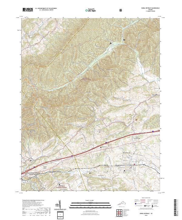
2022 Map of Rural Retreat
USGS Topo · Published 2022About this map
Rural Retreat and the surrounding valley floor are defined by a complex transportation corridor where the Norfolk Southern railway and Interstate 81 run parallel through the ridge-and-valley terrain. This southwest Virginia landscape is anchored by the Tennessee Valley Divide, a significant hydrological marker that separates the waters flowing toward the Holston and New Rivers. The area is characterized by scattered rural communities like Groseclose, Staley Crossroads, and Murpheyville, each connected by a network of winding county roads such as State Rte 617 and Kimberlin Rd.
Find a feature on this map
115 named features on this map. Tap any name to fly to it.
Don’t see what you’re looking for? This feature index may not catch every label — zoom into the map to look around manually.
Map Details
Editions of this 2022 Rural Retreat Map
This is the sole edition of this map. No revisions or reprints were ever made.
Other maps of this area

1887 · Pocahontas
USGS Topo · 1:125,000

1889 · Wytheville
USGS Topo · 1:125,000

1891 · Pocahontas
USGS Topo · 1:125,000

1892 · Wytheville
USGS Topo · 1:125,000

1894 · Pocahontas
USGS Topo · 1:125,000

1895 · Pocahontas
USGS Topo · 1:125,000

1930 · Speedwell
USGS Topo · 1:62,500

1931 · Rural Retreat
USGS Topo · 1:48,000

1935 · Nebo
USGS Topo · 1:24,000

1935 · Cedar Springs
USGS Topo · 1:24,000