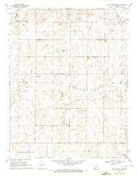
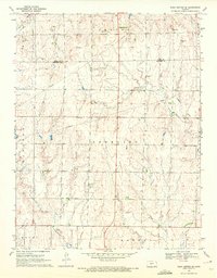
1970 Map of Rush Center SW
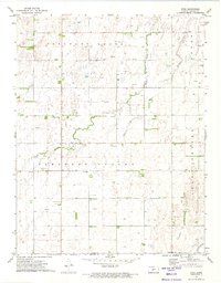
USGS Topo · Published 1972This historical map portrays the area of Rush Center SW in 1970, primarily covering Pawnee County as well as portions of Rush County. Featuring a scale of 1:24000, this map provides a highly detailed snapshot of the terrain, roads, buildings, counties, and historical landmarks in the Rush Center SW region at the time. Published in 1972, it is the sole known edition of this map.
Find a feature on this map
17 named features on this map. Tap any name to fly to it.
Don’t see what you’re looking for? This feature index may not catch every label — zoom into the map to look around manually.
Map Details
Editions of this 1970 Rush Center SW Map
This is the sole edition of this map. No revisions or reprints were ever made.
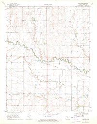
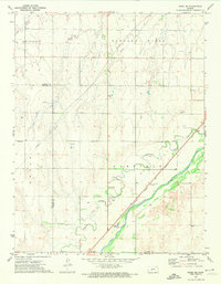
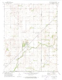
Historical Maps of Rush County Through Time
10 maps found
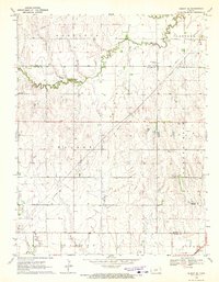
1970 Albert SE
Pawnee County, KS
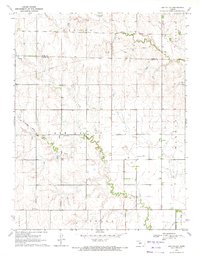
1970 Ash Valley
Pawnee County, KS

1970 Bazine SE
Pawnee County, KS
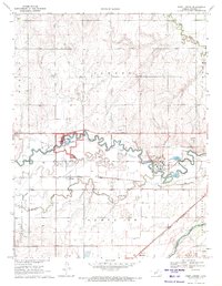
1970 Fort Larned
Pawnee County, KS
1970 Rush Center SE
Pawnee County, KS
1970 Rush Center SW
Pawnee County, KS
1970 Sanford
Pawnee County, KS
1972 Rozel SE
Pawnee County, KS
1972 Saint John SW
Pawnee County, KS
1972 Zook
Pawnee County, KS