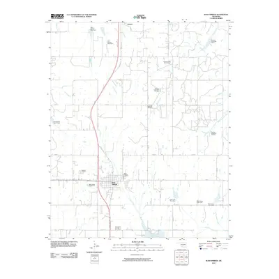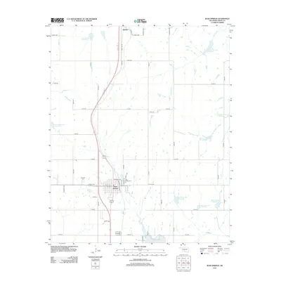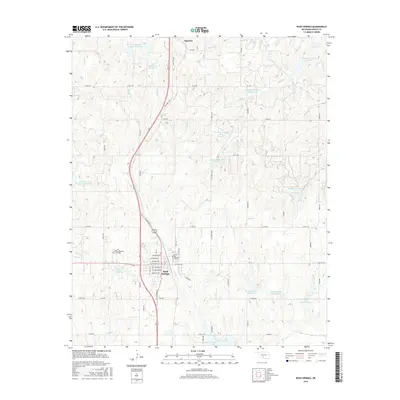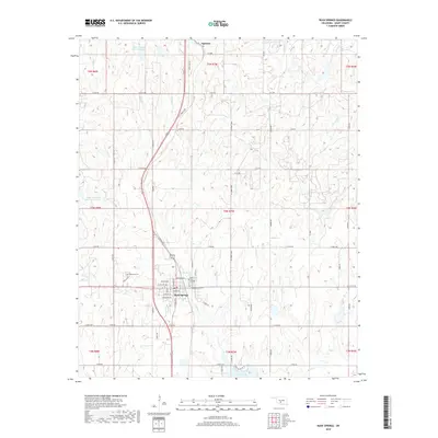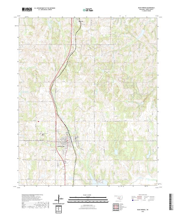
1981 Map of Rush Springs
USGS Topo · Published 1982About this map
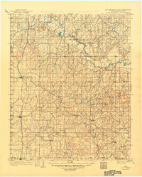
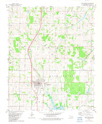
Rush Springs serves as the central hub of this Grady County landscape, where the town's early development is marked by its proximity to vital water sources like Carter Spr and Pk Springs. The map clearly delineates the Old Indian Territory Boundary, separating the historical lands of the Chickasaw Nation and Choctaw Nation, providing a critical geographic reference for tribal history and land allotments. Industrial activity is evident through numerous Oil Wells scattered across the western sections and a Quarry to the east. The terrain is defined by the drainage patterns of Rush Creek and Roaring Creek, while Taylor Lake and the Agawam settlement highlight the rural infrastructure and community nodes established by the early 1980s.
Find a feature on this map
25 named features on this map. Tap any name to fly to it.
Don’t see what you’re looking for? This feature index may not catch every label — zoom into the map to look around manually.
Map Details
Editions of this 1981 Rush Springs Map
This is the sole edition of this map. No revisions or reprints were ever made.
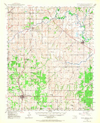
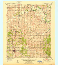
Historical Maps of Rush Springs Through Time
9 maps found