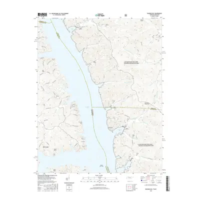
2016 Map of Rushing Bay
USGS Topo · Published 2016About this map
Kentucky Lake dominates this 2016 survey, bisecting the landscape where the borders of Kentucky and Tennessee meet. To the east of the water lies the Land Between the Lakes National Recreation Area, a vast peninsula characterized by complex drainage systems like Jones Creek and Rushing Creek. This protected area preserves several family burial grounds, including Williams Cem, Dilday Cem, and Rushing Creek Cem, offering a window into the pre-inundation settlement patterns of this river valley.
Find a feature on this map
84 named features on this map. Tap any name to fly to it.
Don’t see what you’re looking for? This feature index may not catch every label — zoom into the map to look around manually.
Map Details
Editions of this 2016 Rushing Bay Map
This is the sole edition of this map. No revisions or reprints were ever made.
Other maps of this area
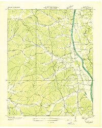
1936 · Tharpe
USGS Topo · 1:24,000
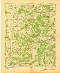
1936 · New Concord
USGS Topo · 1:24,000
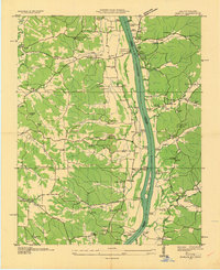
1936 · Hamlin
USGS Topo · 1:24,000
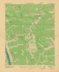
1936 · Fenton
USGS Topo · 1:24,000
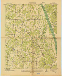
1936 · Hiatt
USGS Topo · 1:24,000
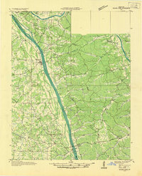
1936 · Golden Pond
USGS Topo · 1:48,000
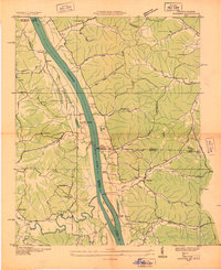
1936 · Rushing
USGS Topo · 1:24,000
1936 · Hico
USGS Topo · 1:24,000
1940 · Hiatt
USGS Topo · 1:24,000
1942 · New Concord
USGS Topo · 1:24,000