1961 Map of Rushville
USGS Topo · Published 1962About this map
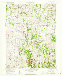
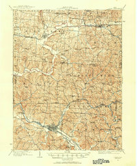
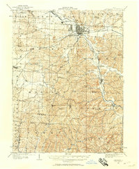
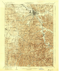
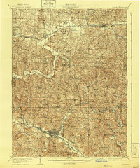
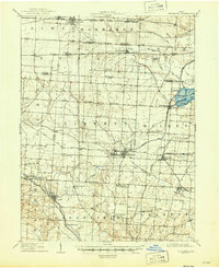
West Rushville and Rushville anchor the southern portion of this 1961 survey, situated along the banks of Little Rush Creek where the terrain begins to ripple with the drainage of Kettle Creek. This Fairfield County landscape is defined by its agricultural pattern and the transit corridor of the New York Central railroad, which cuts northwest through New Salem. The map serves as a detailed record for genealogists, documenting numerous family-named burial sites such as Woolard Cem, Stevenson Cem, and Ruffner Cem, alongside rural landmarks like Zion Ch and Drumm Ch. The boundary between Fairfield and Perry counties bisects the eastern half of the sheet, where Sheridan High Sch stands near the intersection of local routes. From the small settlement of Oakthorpe to the northern hamlet of Bruno, the map captures the transition from open farmland to the wooded ravines of the Appalachian plateau foothills.
Find a feature on this map
30 named features on this map. Tap any name to fly to it.
Don’t see what you’re looking for? This feature index may not catch every label — zoom into the map to look around manually.
Map Details
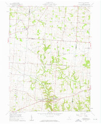
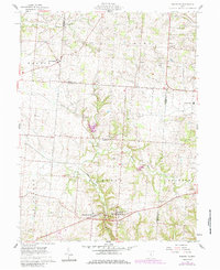
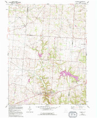
Editions of this 1961 Rushville Map
4 editions found
Other maps of this area
1907 · Logan
USGS Topo · 1:62,500
1907 · Lancaster
USGS Topo · 1:62,500
1907 · Thurston
USGS Topo · 1:62,500
1909 · Thornville
USGS Topo · 1:62,500
1909 · Lancaster
USGS Topo · 1:62,500
1909 · Logan
USGS Topo · 1:62,500
1909 · Thurston
USGS Topo · 1:62,500

1947 · Columbus
USGS Topo · 1:250,000

1961 · Columbus
USGS Topo · 1:250,000
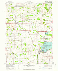
1961 · Millersport
USGS Topo · 1:24,000
Featured Places
- Rushville, Richland Township
- West Rushville, Richland Township
- Bruno, OH
- Oakthorpe, Richland Township
- Pleasant Township, OH