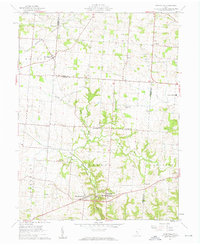
1961 Map of Rushville
USGS Topo · Published 1962About this map
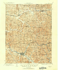
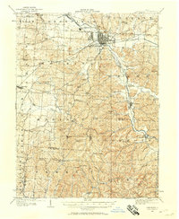
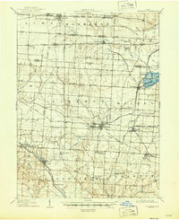
Rushville and West Rushville anchor the southern landscape of this 1961 survey, situated along the winding course of Little Rush Creek. The region is defined by a dense network of family-named burial grounds and rural congregations, reflecting generations of settlement across the Richland and Walnut townships. In the north, the village of New Salem sits near the New York Central rail line, while smaller communities like Oakthorpe and Bruno punctuate the agricultural upland.
Find a feature on this map
29 named features on this map. Tap any name to fly to it.
Don’t see what you’re looking for? This feature index may not catch every label — zoom into the map to look around manually.
Map Details
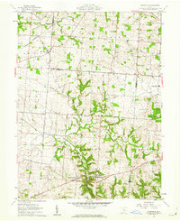
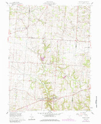
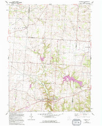
Editions of this 1961 Rushville Map
4 editions found
Other maps of this area
1907 · Logan
USGS Topo · 1:62,500
1907 · Lancaster
USGS Topo · 1:62,500
1907 · Thurston
USGS Topo · 1:62,500
1909 · Thornville
USGS Topo · 1:62,500
1909 · Lancaster
USGS Topo · 1:62,500
1909 · Logan
USGS Topo · 1:62,500
1909 · Thurston
USGS Topo · 1:62,500

1947 · Columbus
USGS Topo · 1:250,000

1961 · Columbus
USGS Topo · 1:250,000
1961 · Millersport
USGS Topo · 1:24,000
Featured Places
- Rushville, Richland Township
- West Rushville, Richland Township
- Bruno, OH
- Oakthorpe, Richland Township
- Pleasant Township, OH