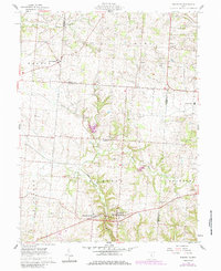
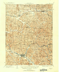
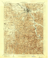
1961 Map of Rushville
USGS Topo · Published 1985About this map
Rushville and West Rushville sit at the geographic heart of this mid-century survey, positioned along the winding course of Little Rush Creek. The landscape reflects a deeply rooted agricultural and resource-based economy, defined by the Conrail rail line and a series of extractive sites including numerous Oil Wells, a Gravel Pit, and various Drift Holes. The rural character is punctuated by family-named landmarks and local centers of community life, such as Sheridan High Sch and the Zion Ch to the northeast.
Find a feature on this map
36 named features on this map. Tap any name to fly to it.
Don’t see what you’re looking for? This feature index may not catch every label — zoom into the map to look around manually.
Map Details
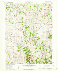
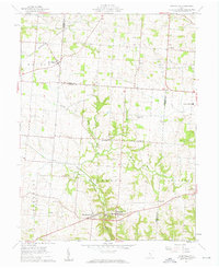
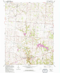
Editions of this 1961 Rushville Map
4 editions found
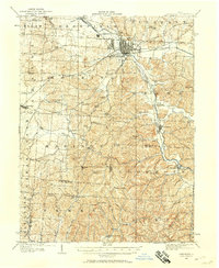
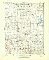
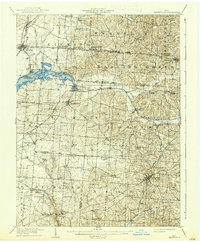
Other maps of this area
1907 · Logan
USGS Topo · 1:62,500
1907 · Lancaster
USGS Topo · 1:62,500
1907 · Thurston
USGS Topo · 1:62,500
1909 · Thornville
USGS Topo · 1:62,500
1909 · Lancaster
USGS Topo · 1:62,500
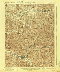
1909 · Logan
USGS Topo · 1:62,500
1909 · Thurston
USGS Topo · 1:62,500

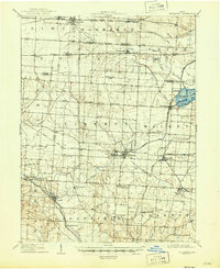
1947 · Columbus
USGS Topo · 1:250,000

1961 · Columbus
USGS Topo · 1:250,000
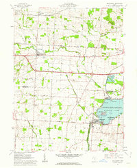
1961 · Millersport
USGS Topo · 1:24,000
Featured Places
- Rushville, Richland Township
- West Rushville, Richland Township
- Bruno, OH
- Oakthorpe, Richland Township
- Pleasant Township, OH