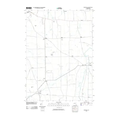
2010 Map of Rushville
USGS Topo · Published 2010About this map
Rushville and Gorham anchor this landscape in Ontario and Yates counties, where a dense network of country roads connects long-standing agricultural hamlets. The terrain is defined by the northward flow of Flint Creek and the southern course of the West River, with the elevated ground of Harkness Hill and Lazarus Hill rising between the drainage basins.
Find a feature on this map
71 named features on this map. Tap any name to fly to it.
Don’t see what you’re looking for? This feature index may not catch every label — zoom into the map to look around manually.
Map Details
Editions of this 2010 Rushville Map
This is the sole edition of this map. No revisions or reprints were ever made.
Other maps of this area

1900 · Naples
USGS Topo · 1:62,500

1900 · Canandaigua
USGS Topo · 1:62,500

1902 · Phelps
USGS Topo · 1:62,500

1903 · Naples
USGS Topo · 1:62,500

1903 · Canandaigua
USGS Topo · 1:62,500

1903 · Penn Yan
USGS Topo · 1:62,500

1913 · Naples
USGS Topo · 1:62,500

1942 · Penn Yan
USGS Topo · 1:31,680

1942 · Middlesex
USGS Topo · 1:31,680

1942 · Canandaigua
USGS Topo · 1:31,680