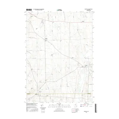
2016 Map of Rushville
USGS Topo · Published 2016About this map
Flint Creek and the lowlands of Potter Swamp define the eastern reach of this landscape, where the border of Ontario and Yates counties meets. The village of Rushville sits at the southwestern corner, anchored by the West River and the Rushville Cem, while Gorham serves as a northern hub along the creek. This modern survey illustrates a region largely defined by its glacial heritage, with prominent elevations like Lincoln Hill and Lazarus Hill rising above the surrounding agricultural fields. Numerous small burial grounds, such as Pickett's Corners Cem and Lewis Cem, are scattered throughout the township, suggesting the deep-rooted settlement patterns of the Finger Lakes region. To the northwest, the campus of Finger Lakes Community Coll and the Midlakes Airport mark modern developments on the outskirts of the older rural hamlets like Aloquin and Reed Corners.
Find a feature on this map
71 named features on this map. Tap any name to fly to it.
Don’t see what you’re looking for? This feature index may not catch every label — zoom into the map to look around manually.
Map Details
Editions of this 2016 Rushville Map
This is the sole edition of this map. No revisions or reprints were ever made.
Other maps of this area

1900 · Naples
USGS Topo · 1:62,500

1900 · Canandaigua
USGS Topo · 1:62,500

1902 · Phelps
USGS Topo · 1:62,500

1903 · Naples
USGS Topo · 1:62,500

1903 · Canandaigua
USGS Topo · 1:62,500

1903 · Penn Yan
USGS Topo · 1:62,500

1913 · Naples
USGS Topo · 1:62,500

1942 · Penn Yan
USGS Topo · 1:31,680

1942 · Middlesex
USGS Topo · 1:31,680

1942 · Canandaigua
USGS Topo · 1:31,680