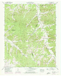
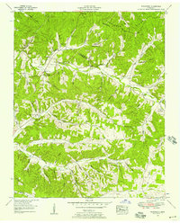
1953 Map of Ruskin
USGS Topo · Published 1974About this map
Yellow Creek and its many tributaries, including Buckeye Creek and Whiteoak Creek, carve a complex drainage pattern through the heart of the Tennessee Valley Divide. This 1953 landscape, updated in 1973, reveals a rural network of family-held land and small community centers where the borders of Houston, Humphreys, and Dickson counties meet. The settlement of Ruskin sits near the Swimming pool and the landmark Jewel Cave, representing a distinct pocket of development in the southeastern quadrangle.
Find a feature on this map
110 named features on this map. Tap any name to fly to it.
Don’t see what you’re looking for? This feature index may not catch every label — zoom into the map to look around manually.
Map Details
Editions of this 1953 Ruskin Map
3 editions found
Other maps of this area

1931 · Erin
USGS Topo · 1:62,500

1936 · Gorman
USGS Topo · 1:24,000

1936 · Tantrough Hollow
USGS Topo · 1:24,000

1936 · Woolworth
USGS Topo · 1:24,000

1936 · Ruskin
USGS Topo · 1:24,000

1936 · Tennessee City
USGS Topo · 1:24,000

1936 · Dickson
USGS Topo · 1:24,000
1952 · Mc Ewen
USGS Topo · 1:24,000
1952 · Woolworth
USGS Topo · 1:24,000

1953 · Dickson
USGS Topo · 1:24,000