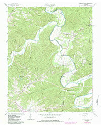
1966 Map of Harpeth Valley
USGS Topo · Published 1984About this map
The Harpeth River carves a winding path through the borderlands of Cheatham and Dickson Counties, defining the physical and social geography of this Tennessee landscape in the mid-1960s. Rural settlements like Petway, Griffintown, and Harpeth Valley are connected by winding ridge-top roads, while the community of White Bluff anchors the southwestern corner of the quadrangle. Local life is centered around family-named landmarks and country congregations, including Chapel Hill Ch, Mt Olive Ch, and Midway Ch.
Find a feature on this map
54 named features on this map. Tap any name to fly to it.
Don’t see what you’re looking for? This feature index may not catch every label — zoom into the map to look around manually.
Map Details
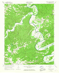
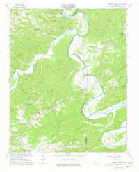
Editions of this 1966 Harpeth Valley Map
3 editions found
Other maps of this area

1930 · White Bluff
USGS Topo · 1:62,500

1933 · White Bluff
USGS Topo · 1:62,500

1936 · Burns
USGS Topo · 1:24,000

1953 · Burns
USGS Topo · 1:24,000

1956 · Nashville
USGS Topo · 1:250,000

1957 · Cheatham Dam
USGS Topo · 1:24,000

1957 · Ashland City
USGS Topo · 1:24,000

1958 · Charlotte
USGS Topo · 1:24,000

1958 · Cumberland Furnace
USGS Topo · 1:24,000

1959 · Nashville
USGS Topo · 1:250,000