
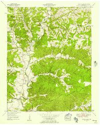
1953 Map of Burns
USGS Topo · Published 1958About this map
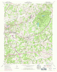
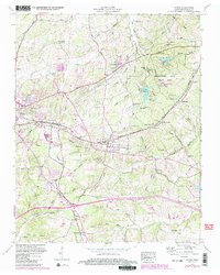
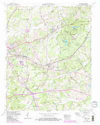
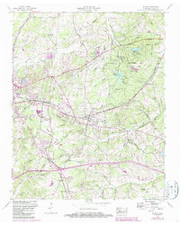
Burns and Colesburg serve as the primary hubs along the N C and St L railway in this mid-century portrait of Dickson County. The landscape is defined by the Tennessee Valley Divide, which separates the northern drainage of Jones Creek from the southern headwaters of Beaverdam Creek and Nails Creek. To the northeast, the sprawling Montgomery Bell State Park preserves a varied terrain of hollows and ridges, featuring Lake Woodhaven and an athletic field. Economic activity of the era is evidenced by a Lime mine (Abandoned) and a drive-in theater near the park boundary. For genealogists, the sheet is exceptionally dense with family-named landmarks and resting places, including Richardson Cem, Gillian Chapel Cem, and Price Cem, alongside community institutions like the Camp Ground Ch and Herbertston School.
Find a feature on this map
79 named features on this map. Tap any name to fly to it.
Don’t see what you’re looking for? This feature index may not catch every label — zoom into the map to look around manually.
Map Details
Editions of this 1953 Burns Map
5 editions found
Other maps of this area

1901 · Colombia
USGS Topo · 1:125,000

1930 · White Bluff
USGS Topo · 1:62,500

1933 · White Bluff
USGS Topo · 1:62,500

1936 · Texas Hollow
USGS Topo · 1:24,000

1936 · Burns
USGS Topo · 1:24,000

1936 · Craigfield
USGS Topo · 1:24,000

1936 · Lyles
USGS Topo · 1:24,000

1936 · Dickson
USGS Topo · 1:24,000
1952 · Texas Hollow
USGS Topo · 1:24,000

1953 · Dickson
USGS Topo · 1:24,000