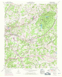
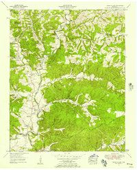
1953 Map of Burns
USGS Topo · Published 1970About this map
Montgomery Bell State Park occupies a significant portion of this Dickson County landscape, featuring recreation sites like Lake Woodhaven and the Camp Ground Ch site. The area is defined by the Tennessee Valley Divide, where water begins its journey toward distinct drainage basins via Jones Creek and Beaverdam Creek. The settlement pattern follows the Louisville and Nashville railroad corridor, connecting the larger town of Dickson with the smaller communities of Colesburg and Burns.
Find a feature on this map
65 named features on this map. Tap any name to fly to it.
Don’t see what you’re looking for? This feature index may not catch every label — zoom into the map to look around manually.
Map Details
Editions of this 1953 Burns Map
5 editions found

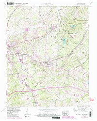
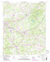
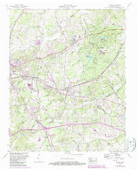
Other maps of this area

1901 · Colombia
USGS Topo · 1:125,000

1930 · White Bluff
USGS Topo · 1:62,500

1933 · White Bluff
USGS Topo · 1:62,500

1936 · Texas Hollow
USGS Topo · 1:24,000

1936 · Burns
USGS Topo · 1:24,000

1936 · Craigfield
USGS Topo · 1:24,000

1936 · Lyles
USGS Topo · 1:24,000

1936 · Dickson
USGS Topo · 1:24,000
1952 · Texas Hollow
USGS Topo · 1:24,000

1953 · Dickson
USGS Topo · 1:24,000