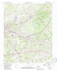
1953 Map of Burns
USGS Topo · Published 1987About this map
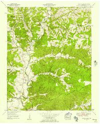
Montgomery Bell State Park dominates the eastern portion of this Tennessee landscape, centered around the community of Burns. The terrain is defined by the Tennessee Divide, which separates the drainages of Jones Creek and Pump Spring Creek in a network of named hollows like Wildcat Hollow and Luther Hollow. The rail economy of the mid-20th century is evident through the Seaboard line, which cuts through the ridge at McNair Cut and passes through the village of Colesburg.
Find a feature on this map
55 named features on this map. Tap any name to fly to it.
Don’t see what you’re looking for? This feature index may not catch every label — zoom into the map to look around manually.
Map Details
Editions of this 1953 Burns Map
5 editions found

Other maps of this area

1901 · Colombia
USGS Topo · 1:125,000

1930 · White Bluff
USGS Topo · 1:62,500

1933 · White Bluff
USGS Topo · 1:62,500

1936 · Texas Hollow
USGS Topo · 1:24,000

1936 · Burns
USGS Topo · 1:24,000

1936 · Craigfield
USGS Topo · 1:24,000

1936 · Lyles
USGS Topo · 1:24,000

1936 · Dickson
USGS Topo · 1:24,000
1952 · Texas Hollow
USGS Topo · 1:24,000

1953 · Dickson
USGS Topo · 1:24,000