Loading...
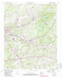
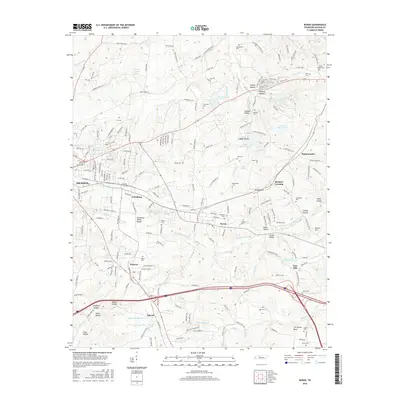
Loading map...1953 Map of Burns
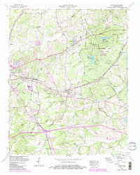
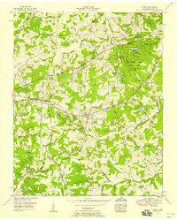
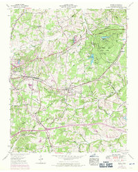
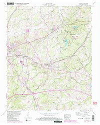
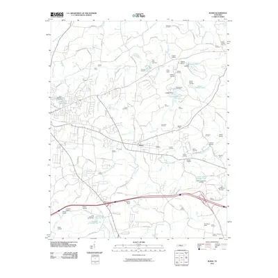
USGS Topo · Published 1987About this map
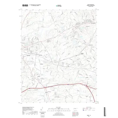
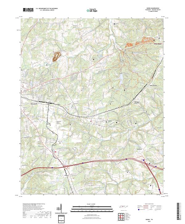
The rolling landscape of Dickson County is anchored by the early development of Montgomery Bell State Park, where Lake Woodhaven and a dedicated Fish Hatchery illustrate the mid-century focus on conservation and recreation. The rail network defines the local economy, with the Seaboard and Tennessee Central lines intersecting near the town of Burns. This junction point reveals the industrial underpinnings of the era, from the abandoned lime mine south of the tracks to the notable engineering of the McNair Cut and Reeders Crossing.
Find a feature on this map
77 named features on this map. Tap any name to fly to it.
Don’t see what you’re looking for? This feature index may not catch every label — zoom into the map to look around manually.
Map Details
Date Portrayed1953
Date Published1987
PublisherU.S. Geological Survey
Map TypeTopographic
Scale1:24,000
Physical Dimensions22 x 27.5 inches
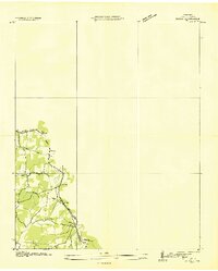
Editions of this 1953 Burns Map
5 editions found
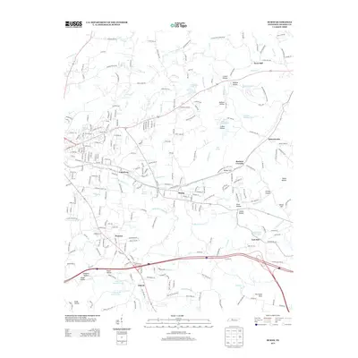
Historical Maps of Dickson Through Time
7 maps found
Featured Locations
Source Details
SourceU.S. Geological Survey
CopyrightPublic Domain