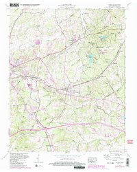
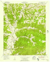
1953 Map of Burns
USGS Topo · Published 1987About this map
Montgomery Bell State Park dominates the eastern half of this landscape, a preserved woodland featuring Lake Woodhaven and the Reservoir alongside recreational infrastructure like a Golf Course. To the west, the industrial and residential growth of Dickson and Colesburg follows the path of the Seaboard railroad, which cuts through the central terrain via the McNair Cut. The map documents a rural society transitioning through the mid-20th century, evidenced by the presence of a Drive-in Theater and Fish Hatchery near Twin Lake.
Find a feature on this map
69 named features on this map. Tap any name to fly to it.
Don’t see what you’re looking for? This feature index may not catch every label — zoom into the map to look around manually.
Map Details
Editions of this 1953 Burns Map
5 editions found

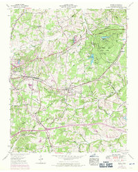
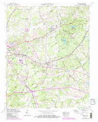
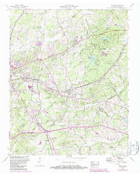
Other maps of this area

1901 · Colombia
USGS Topo · 1:125,000

1930 · White Bluff
USGS Topo · 1:62,500

1933 · White Bluff
USGS Topo · 1:62,500

1936 · Texas Hollow
USGS Topo · 1:24,000

1936 · Burns
USGS Topo · 1:24,000

1936 · Craigfield
USGS Topo · 1:24,000

1936 · Lyles
USGS Topo · 1:24,000

1936 · Dickson
USGS Topo · 1:24,000
1952 · Texas Hollow
USGS Topo · 1:24,000

1953 · Dickson
USGS Topo · 1:24,000