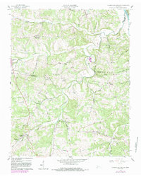
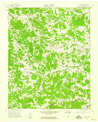
1958 Map of Cumberland Furnace
USGS Topo · Published 1983About this map
Cumberland Furnace serves as the focal point for this mid-century topographic record, located where the borders of Montgomery, Dickson, and Cheatham counties meet. The landscape is defined by the winding course of the Cumberland River in the northeast and a dense network of named hollows and branches. Significant for genealogists, the area is dotted with family-named landmarks and resting places such as Hagewood Cem, Batson Cem, and Patterson Cem.
Find a feature on this map
63 named features on this map. Tap any name to fly to it.
Don’t see what you’re looking for? This feature index may not catch every label — zoom into the map to look around manually.
Map Details
Editions of this 1958 Cumberland Furnace Map
3 editions found
Other maps of this area

1930 · White Bluff
USGS Topo · 1:62,500

1933 · White Bluff
USGS Topo · 1:62,500

1956 · Nashville
USGS Topo · 1:250,000

1957 · Cheatham Dam
USGS Topo · 1:24,000

1957 · Henrietta
USGS Topo · 1:24,000

1958 · Charlotte
USGS Topo · 1:24,000

1958 · Cumberland Furnace
USGS Topo · 1:24,000
1958 · Vanleer
USGS Topo · 1:24,000
1958 · Palmyra
USGS Topo · 1:24,000
1958 · Slayden
USGS Topo · 1:24,000