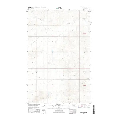
2017 Map of Russell Chapel
USGS Topo · Published 2017About this map
Sample Flat defines the open western portion of this Montana landscape, where the Sample Flat Cem sits as a lonely historical marker. The eastern terrain is more complex, deeply incised by the drainage systems of Dugout Coulee and the North Fork Dugout Coulee. This 2017 survey reflects the enduring rural character of Chouteau County, centered around the landmark Russell Chapel. The local transportation network consists primarily of named gravel routes like Ames Ranch Rd and Beaverslide Rd, which follow the contours of the coulees. These roads connect the disparate ranching properties and small communities that have defined the high plains for generations, tracing the paths between the expansive flats and the East Dugout Coulee.
Find a feature on this map
16 named features on this map. Tap any name to fly to it.
Don’t see what you’re looking for? This feature index may not catch every label — zoom into the map to look around manually.
Map Details
Editions of this 2017 Russell Chapel Map
This is the sole edition of this map. No revisions or reprints were ever made.
Other maps of this area
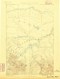
1886 · Great Falls
USGS Topo · 1:250,000
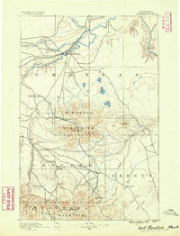
1890 · Fort Benton
USGS Topo · 1:250,000
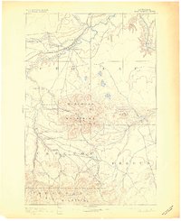
1892 · Fort Benton
USGS Topo · 1:250,000
1897 · Fort Benton
USGS Topo · 1:250,000
1950 · Dent Bridge
USGS Topo · 1:62,500
1954 · Great Falls
USGS Topo · 1:250,000
1954 · Shelby
USGS Topo · 1:250,000
1957 · Great Falls
USGS Topo · 1:250,000
1958 · Shelby
USGS Topo · 1:250,000
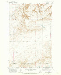
1970 · Carlson Coulee
USGS Topo · 1:24,000