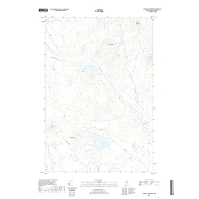
2018 Map of Russell Mountain
USGS Topo · Published 2018About this map
Russell Mountain and its smaller neighbor Little Russell Mountain dominate the topography of this Somerset County highlands region. The landscape is defined by a dense network of timber roads and drainage systems, where Russell Pond feeds into the winding Russell Stream. Further south, elevations rise again at Elm Pond Mountain and Nulhedus Mountain, framing a series of isolated water bodies including Elm Pond and Bradley Pond. This survey illustrates the modern forestry and recreational access patterns in Saint John Township, characterized by named access routes like the North Branch Access Road and Russell Pond Road that cut through the wetlands of Russell Bog.
Find a feature on this map
31 named features on this map. Tap any name to fly to it.
Don’t see what you’re looking for? This feature index may not catch every label — zoom into the map to look around manually.
Map Details
Editions of this 2018 Russell Mountain Map
This is the sole edition of this map. No revisions or reprints were ever made.
Other maps of this area

1954 · Seboomook Lake
USGS Topo · 1:62,500

1954 · North East Carry
USGS Topo · 1:62,500

1954 · Caucomgomoc Lake
USGS Topo · 1:62,500

1954 · St. John Pond
USGS Topo · 1:62,500

1954 · Presque Isle
USGS Topo · 1:250,000

1954 · Millinocket
USGS Topo · 1:250,000

1958 · Presque Isle
USGS Topo · 1:250,000

1958 · Millinocket
USGS Topo · 1:250,000

1958 · Caucomgomoc Lake
USGS Topo · 1:62,500

1958 · Saint John Pond
USGS Topo · 1:62,500