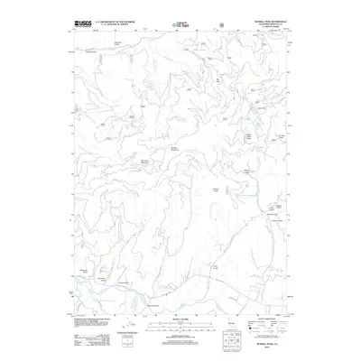
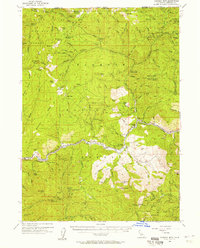
2012 Map of Russell Peak
USGS Topo · Published 2012About this map
ScottBar Mountains dominate this high-relief landscape where the Scott River cuts through the southern reaches, joined by tributaries such as Meamber Cr and Shackleford Cr. The settlement patterns here are dictated by the rugged gulches and ridges, with named features like Baker Cabin and Baker Flat situated in the northeast. The presence of Graveyard Gulch and Meamber Bridge suggests long-standing local landmarks tied to early land use and family names. In the higher elevations, Milk Ranch Meadows and Walla Walla Ridge provide distinct geographical markers among a network of Forest Service roads, including Mill Creek Rd and Scott Bar Rd. This 2012 survey illustrates the remote character of northern California, where geographic features like Russell Peak and numerous gulches—such as Titcomb Gulch and Franklin Gulch—define the area's intricate topography.
Find a feature on this map
69 named features on this map. Tap any name to fly to it.
Don’t see what you’re looking for? This feature index may not catch every label — zoom into the map to look around manually.
Map Details
Editions of this 2012 Russell Peak Map
This is the sole edition of this map. No revisions or reprints were ever made.
Other maps of this area
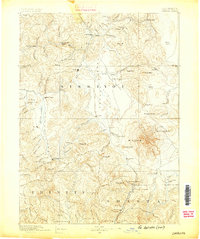
1886 · Shasta
USGS Topo · 1:250,000
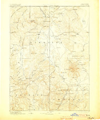
1894 · Shasta
USGS Topo · 1:250,000
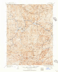
1914 · Seiad
USGS Topo · 1:125,000
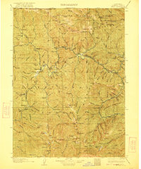
1922 · Seiad
USGS Topo · 1:125,000
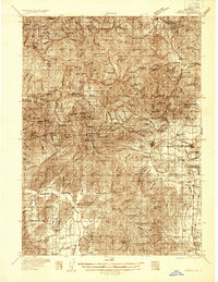
1932 · Yreka
USGS Topo · 1:96,000
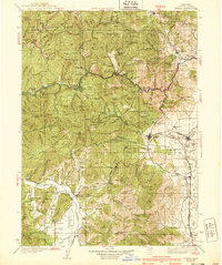
1939 · Yreka
USGS Topo · 1:125,000

1948 · Weed
USGS Topo · 1:250,000

1950 · Weed
USGS Topo · 1:250,000
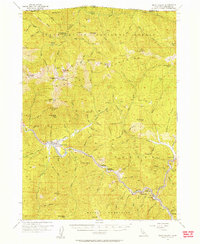
1955 · Seiad Valley
USGS Topo · 1:62,500
1955 · Condrey Mtn
USGS Topo · 1:62,500