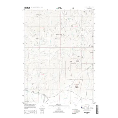
2015 Map of Russell Peak
USGS Topo · Published 2015About this map
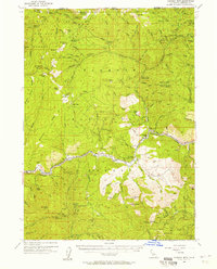
Klamath National Forest dominates this section of Siskiyou County, where the topography transitions from the heights of the Marble Mountains and Scott Bar Mountains down to the winding course of the Scott River Road. The landscape is etched with steep drainages and gulches, including Franklin Gulch, Slug Gulch, and Grizzly Gulch, reflecting a terrain shaped by water and historical land use. Near the southern edge, Meamber Bridge provides a key crossing point, while the presence of a Wool Mill near the northern boundary suggests the area's late-era agricultural and industrial heritage.
Find a feature on this map
59 named features on this map. Tap any name to fly to it.
Don’t see what you’re looking for? This feature index may not catch every label — zoom into the map to look around manually.
Map Details
Editions of this 2015 Russell Peak Map
This is the sole edition of this map. No revisions or reprints were ever made.
Other maps of this area
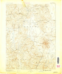
1886 · Shasta
USGS Topo · 1:250,000
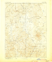
1894 · Shasta
USGS Topo · 1:250,000
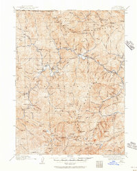
1914 · Seiad
USGS Topo · 1:125,000
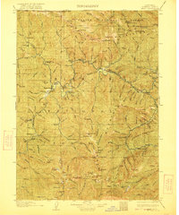
1922 · Seiad
USGS Topo · 1:125,000
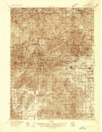
1932 · Yreka
USGS Topo · 1:96,000
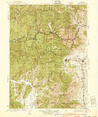
1939 · Yreka
USGS Topo · 1:125,000

1948 · Weed
USGS Topo · 1:250,000

1950 · Weed
USGS Topo · 1:250,000
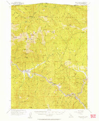
1955 · Seiad Valley
USGS Topo · 1:62,500
1955 · Condrey Mtn
USGS Topo · 1:62,500