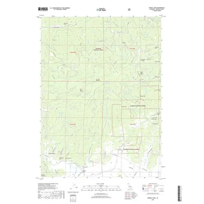
2018 Map of Russell Peak
USGS Topo · Published 2018About this map
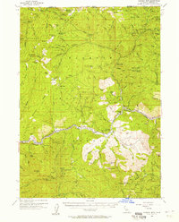
Scott River winds through the southern portion of this Siskiyou County landscape, providing a focal point for the small settlement at Meamber Bridge. This 2018 survey reveals a terrain defined by steep ridges and deep gulches, where the northern slopes of the Marble Mountains meet the Scott Bar Mountains. The intricate drainage network is clear, with waterways like Rattlesnake Cr and its various forks carving through the high country toward the river valley.
Find a feature on this map
101 named features on this map. Tap any name to fly to it.
Don’t see what you’re looking for? This feature index may not catch every label — zoom into the map to look around manually.
Map Details
Editions of this 2018 Russell Peak Map
This is the sole edition of this map. No revisions or reprints were ever made.
Other maps of this area
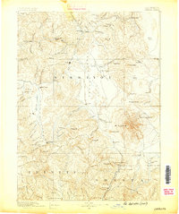
1886 · Shasta
USGS Topo · 1:250,000
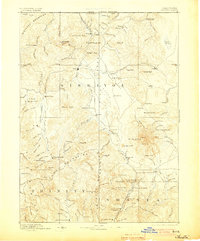
1894 · Shasta
USGS Topo · 1:250,000
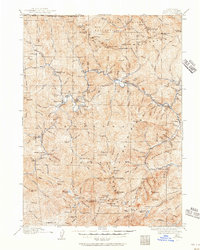
1914 · Seiad
USGS Topo · 1:125,000
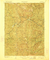
1922 · Seiad
USGS Topo · 1:125,000
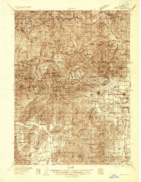
1932 · Yreka
USGS Topo · 1:96,000
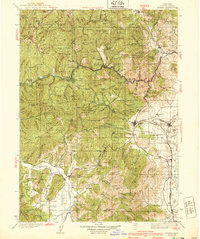
1939 · Yreka
USGS Topo · 1:125,000

1948 · Weed
USGS Topo · 1:250,000

1950 · Weed
USGS Topo · 1:250,000
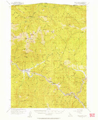
1955 · Seiad Valley
USGS Topo · 1:62,500
1955 · Condrey Mtn
USGS Topo · 1:62,500