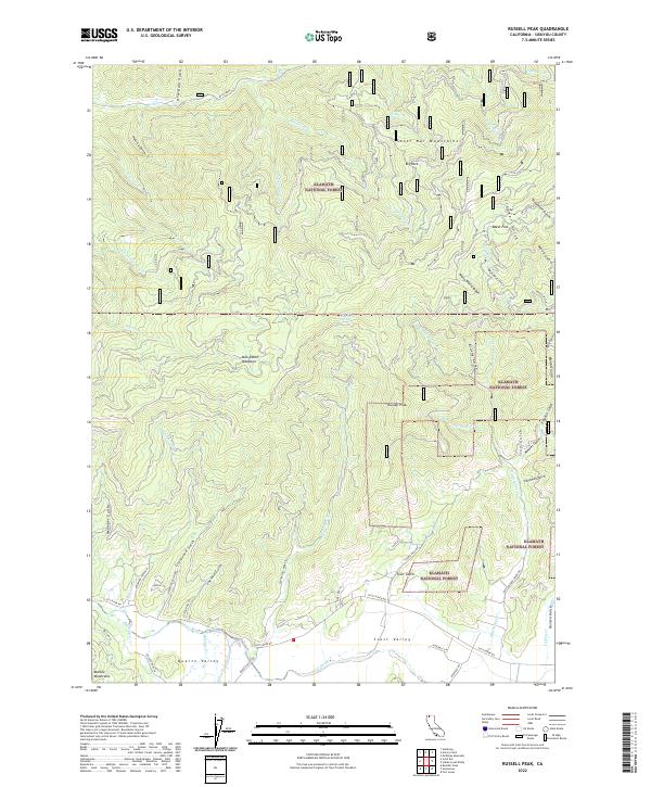
2022 Map of Russell Peak
USGS Topo · Published 2022About this map
Klamath National Forest dominates this Siskiyou County landscape, where the Scott River carves through the southwest corner of the quadrangle. The terrain is defined by deep drainages and ridges, from Walla Walla Ridge in the east to the Marble Mountains rising at the southwestern edge. This 2022 survey captures the transition between the high Scott Bar Mountains and the lower Quartz Valley. The map reveals a complex network of forest access roads, such as Tyler Gulch Rd and Graveyard Gulch Rd, which navigate the steep geography. Named features like Milk-Ranch Meadows and Chipmunk Spring suggest the area's historical reliance on seasonal water sources and mountain grazing. The northern reaches are heavily dissected by numerous creeks, including the S Fork Mill Cr and Singleton Cr, illustrating the rugged hydrology that defines this portion of Northern California.
Find a feature on this map
64 named features on this map. Tap any name to fly to it.
Don’t see what you’re looking for? This feature index may not catch every label — zoom into the map to look around manually.
Map Details
Editions of this 2022 Russell Peak Map
This is the sole edition of this map. No revisions or reprints were ever made.
Other maps of this area

1886 · Shasta
USGS Topo · 1:250,000

1894 · Shasta
USGS Topo · 1:250,000

1914 · Seiad
USGS Topo · 1:125,000

1922 · Seiad
USGS Topo · 1:125,000

1932 · Yreka
USGS Topo · 1:96,000

1939 · Yreka
USGS Topo · 1:125,000

1948 · Weed
USGS Topo · 1:250,000

1950 · Weed
USGS Topo · 1:250,000

1955 · Seiad Valley
USGS Topo · 1:62,500

1955 · Condrey Mtn
USGS Topo · 1:62,500