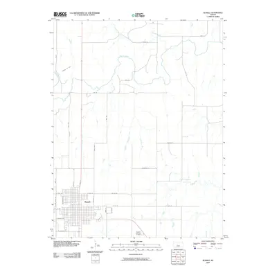
2009 Map of Russell
USGS Topo · Published 2009About this map
The city of Russell stands as a central hub on this Central Kansas landscape, defined by a grid of residential and commercial streets south of the Saline River. The local economy is visibly shaped by industrial and transportation infrastructure, including the Claussen Oil Field to the northwest and the Russell Municipal Airport situated on the southern outskirts. The surrounding plains are etched by several drainage systems, most notably Boswell Creek and Paradies Creek, which converge with the river as it flows through the northern half of the quadrangle. Transportation patterns are anchored by major thoroughfares such as N Fossil St and W Wichita Ave, reflecting the town's development as a regional trade center. To the east, the landscape transitions toward Cedar Creek, with rural routes like Shoreline Rd and Reservoir Rd suggesting the proximity of water management and recreational areas outside the urban core.
Find a feature on this map
35 named features on this map. Tap any name to fly to it.
Don’t see what you’re looking for? This feature index may not catch every label — zoom into the map to look around manually.
Map Details
Editions of this 2009 Russell Map
This is the sole edition of this map. No revisions or reprints were ever made.
Other maps of this area

1896 · Osborne
USGS Topo · 1:125,000

1896 · Russell
USGS Topo · 1:125,000

1955 · Great Bend
USGS Topo · 1:250,000

1955 · Beloit
USGS Topo · 1:250,000

1956 · Dorrance SW
USGS Topo · 1:24,000

1957 · Great Bend
USGS Topo · 1:250,000

1958 · Great Bend
USGS Topo · 1:250,000

1959 · Beloit
USGS Topo · 1:250,000

1961 · Russell SW
USGS Topo · 1:24,000

1961 · Homer
USGS Topo · 1:24,000