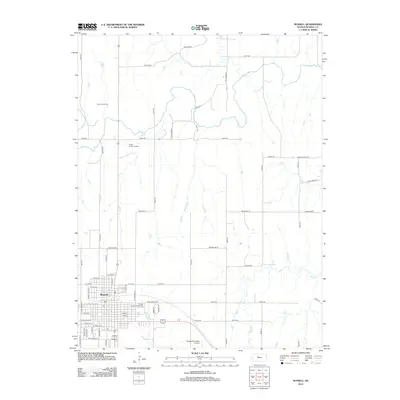
2012 Map of Russell
USGS Topo · Published 2012About this map
The city of Russell serves as the focal point of this Central Kansas landscape, where the grid of the town site meets the meandering path of the Saline River to the north. As the county seat, the area shows a clear transition from urban development to an extractive and agricultural economy. The presence of the Claussen Oil Field in the northwest quadrant indicates the region's long-standing connection to petroleum production, while the Russell Municipal Airport and Russell County Fairgrounds mark significant local infrastructure. Natural drainages like Paradise Cr and Cedar Cr break the geometric regularity of the section lines and rural roads such as Shoreline Rd and Reservoir Rd, illustrating how the high plains topography dictates the layout of modern Kansas transit and industry.
Find a feature on this map
44 named features on this map. Tap any name to fly to it.
Don’t see what you’re looking for? This feature index may not catch every label — zoom into the map to look around manually.
Map Details
Editions of this 2012 Russell Map
This is the sole edition of this map. No revisions or reprints were ever made.
Other maps of this area

1896 · Osborne
USGS Topo · 1:125,000

1896 · Russell
USGS Topo · 1:125,000

1955 · Great Bend
USGS Topo · 1:250,000

1955 · Beloit
USGS Topo · 1:250,000

1956 · Dorrance SW
USGS Topo · 1:24,000

1957 · Great Bend
USGS Topo · 1:250,000

1958 · Great Bend
USGS Topo · 1:250,000

1959 · Beloit
USGS Topo · 1:250,000

1961 · Russell SW
USGS Topo · 1:24,000

1961 · Homer
USGS Topo · 1:24,000