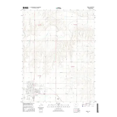
2015 Map of Russell
USGS Topo · Published 2015About this map
Russell serves as the primary hub of this Kansas landscape, organized around a dense grid of residential and commercial streets such as W Wichita Ave and W Jewell St. The town's infrastructure extends to the southeast with the Russell Municipal Airport, reflecting its role as a regional center. Outside the city limits, the terrain is defined by the winding course of the Saline River and its tributaries, including Paradise Cr and Cedar Cr. These waterways cut through the high plains, creating a textured topography of draws and bluffs that contrast with the geometric precision of the surrounding section lines. A network of rural roads like Shoreline Rd and Reservoir Rd facilitates travel between the town center and the agricultural reaches of the quadrangle.
Find a feature on this map
79 named features on this map. Tap any name to fly to it.
Don’t see what you’re looking for? This feature index may not catch every label — zoom into the map to look around manually.
Map Details
Editions of this 2015 Russell Map
This is the sole edition of this map. No revisions or reprints were ever made.
Other maps of this area
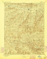
1896 · Osborne
USGS Topo · 1:125,000
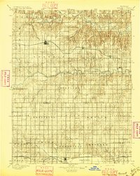
1896 · Russell
USGS Topo · 1:125,000
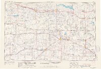
1955 · Great Bend
USGS Topo · 1:250,000
1955 · Beloit
USGS Topo · 1:250,000
1956 · Dorrance SW
USGS Topo · 1:24,000
1957 · Great Bend
USGS Topo · 1:250,000
1958 · Great Bend
USGS Topo · 1:250,000
1959 · Beloit
USGS Topo · 1:250,000
1961 · Russell SW
USGS Topo · 1:24,000
1961 · Homer
USGS Topo · 1:24,000