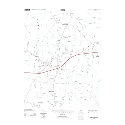
2013 Map of Russell Springs
USGS Topo · Published 2013About this map
Russell Springs serves as the central hub for this portion of South Central Kentucky, where the road networks of Webbs Cross Roads, Humble, and Jericho converge. The landscape is defined by its deep ridges and seasonal watercourses, including Clear Spring Ridge and McClendon Ridge, which guide the flow of Caney Fork and Big Lily Cr. To the south, the terrain descends toward the northern reaches of Lake Cumberland, a significant geographical feature that has shaped the region's development.
Find a feature on this map
250 named features on this map. Tap any name to fly to it.
Don’t see what you’re looking for? This feature index may not catch every label — zoom into the map to look around manually.
Map Details
Editions of this 2013 Russell Springs Map
This is the sole edition of this map. No revisions or reprints were ever made.
Other maps of this area

1911 · Monticello
USGS Topo · 1:62,500

1914 · Monticello
USGS Topo · 1:62,500

1953 · Phil
USGS Topo · 1:24,000

1953 · Montpelier
USGS Topo · 1:24,000

1953 · Creelsboro
USGS Topo · 1:24,000

1953 · Jamestown
USGS Topo · 1:24,000

1953 · Dunnville
USGS Topo · 1:24,000

1954 · Jabez
USGS Topo · 1:24,000

1954 · Knifley
USGS Topo · 1:24,000

1954 · Russell Springs
USGS Topo · 1:24,000