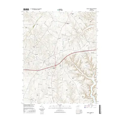
2016 Map of Russell Springs
USGS Topo · Published 2016About this map
Russell Springs and Jamestown anchor this central Russell County landscape, where the plateau begins its descent toward the winding inlets of Lake Cumberland. The modern corridor of the Cumberland Pkwy cuts across the center of the sheet, providing a stark contrast to the older network of ridge roads and small settlements like Sano, Webbs Cross Roads, and Fonthill. The topography is defined by a series of prominent rises including Clear Spring Ridge and McClendon Ridge, which separate the various drainage basins of Caney Fork and Big Clifty Cr. Local history is preserved in family and community burial grounds such as Hillcrest Cem and Lucenda Cem, while the Russell County Airport serves as a contemporary landmark near the southern edge of the survey area.
Find a feature on this map
40 named features on this map. Tap any name to fly to it.
Don’t see what you’re looking for? This feature index may not catch every label — zoom into the map to look around manually.
Map Details
Editions of this 2016 Russell Springs Map
This is the sole edition of this map. No revisions or reprints were ever made.
Other maps of this area

1911 · Monticello
USGS Topo · 1:62,500

1914 · Monticello
USGS Topo · 1:62,500

1953 · Phil
USGS Topo · 1:24,000

1953 · Montpelier
USGS Topo · 1:24,000

1953 · Creelsboro
USGS Topo · 1:24,000

1953 · Jamestown
USGS Topo · 1:24,000

1953 · Dunnville
USGS Topo · 1:24,000

1954 · Jabez
USGS Topo · 1:24,000

1954 · Knifley
USGS Topo · 1:24,000

1954 · Russell Springs
USGS Topo · 1:24,000