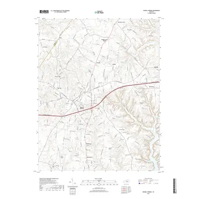
2019 Map of Russell Springs
USGS Topo · Published 2019About this map
Russell Springs and Jamestown serve as the primary hubs in this modern-era study of central Russell County. The region is defined by its ridge-and-hollow topography, where long-standing communities like Webbs Cross Roads, Sano, and Humble are connected by a network of rural routes and the modern Cumberland Parkway. Family history is preserved at local burial grounds such as Lucenda Cemetery and Hillcrest Cemetery, while the Russell County Airport marks the contemporary transportation landscape south of the main settlements.
Find a feature on this map
46 named features on this map. Tap any name to fly to it.
Don’t see what you’re looking for? This feature index may not catch every label — zoom into the map to look around manually.
Map Details
Editions of this 2019 Russell Springs Map
This is the sole edition of this map. No revisions or reprints were ever made.
Other maps of this area

1911 · Monticello
USGS Topo · 1:62,500

1914 · Monticello
USGS Topo · 1:62,500

1953 · Phil
USGS Topo · 1:24,000

1953 · Montpelier
USGS Topo · 1:24,000

1953 · Creelsboro
USGS Topo · 1:24,000

1953 · Jamestown
USGS Topo · 1:24,000

1953 · Dunnville
USGS Topo · 1:24,000

1954 · Jabez
USGS Topo · 1:24,000

1954 · Knifley
USGS Topo · 1:24,000

1954 · Russell Springs
USGS Topo · 1:24,000