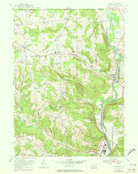
1954 Map of Russell
USGS Topo · Published 1972About this map
Conewango Creek defines the eastern geography of this borderland region, winding south through the hills of northern Pennsylvania toward the industrial and medical facilities of North Warren. The landscape is notably dominated by the extensive grounds of the Warren State Hospital and its associated Warren State Hospital Farm Colony, illustrating the mid-century model of large-scale institutional self-sufficiency.
Find a feature on this map
65 named features on this map. Tap any name to fly to it.
Don’t see what you’re looking for? This feature index may not catch every label — zoom into the map to look around manually.
Map Details
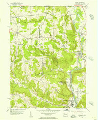
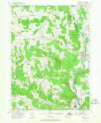
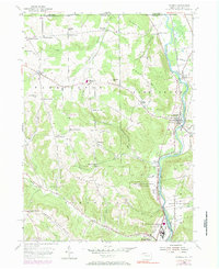
Editions of this 1954 Russell Map
4 editions found
Other maps of this area

1904 · Chautaqua
USGS Topo · 1:62,500

1905 · Jamestown
USGS Topo · 1:62,500

1906 · Warren
USGS Topo · 1:62,500

1907 · Warren
USGS Topo · 1:62,500

1908 · Warren
USGS Topo · 1:62,500

1926 · Youngsville
USGS Topo · 1:62,500

1929 · Youngsville
USGS Topo · 1:62,500

1941 · Chautauqua
USGS Topo · 1:62,500

1942 · Jamestown
USGS Topo · 1:62,500

1943 · Youngsville
USGS Topo · 1:62,500