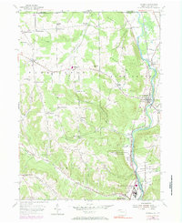
1954 Map of Russell
USGS Topo · Published 1984About this map
Warren State Hospital and its extensive Warren State Hospital Farm Colony dominate the southern landscape of this 1954 survey, which was later updated in 1971 to reflect contemporary infrastructure. The hospital grounds and the adjacent Conewango Country Club are situated along the winding course of Conewango Creek, a central waterway that dictates the settlement patterns of the region. The Penn Central railroad tracks follow the river's path, connecting the village of Russell and the smaller community at Akeley.
Find a feature on this map
62 named features on this map. Tap any name to fly to it.
Don’t see what you’re looking for? This feature index may not catch every label — zoom into the map to look around manually.
Map Details
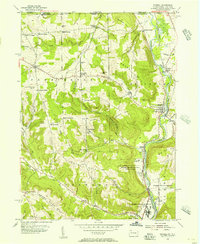
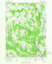
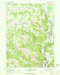
Editions of this 1954 Russell Map
4 editions found
Other maps of this area

1904 · Chautaqua
USGS Topo · 1:62,500

1905 · Jamestown
USGS Topo · 1:62,500

1906 · Warren
USGS Topo · 1:62,500

1907 · Warren
USGS Topo · 1:62,500

1908 · Warren
USGS Topo · 1:62,500

1926 · Youngsville
USGS Topo · 1:62,500

1929 · Youngsville
USGS Topo · 1:62,500

1941 · Chautauqua
USGS Topo · 1:62,500

1942 · Jamestown
USGS Topo · 1:62,500

1943 · Youngsville
USGS Topo · 1:62,500