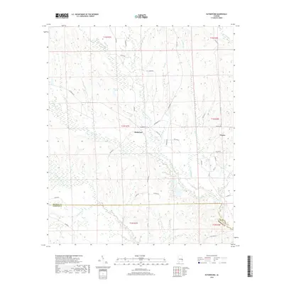
2018 Map of Rutherford
USGS Topo · Published 2018About this map
Rutherford and the nearby community of Persons anchor this survey of the East Alabama interior, where the landscape is defined by the complex drainage network of the Cowikee Creek system. The map details the transition across the Russell and Barbour County line, a region historically shaped by rural agriculture and timber. Several significant waterways, including the N Fork Cowikee Cr and Middle Fork Cowikee Cr, carve through the terrain, while small tributaries like Jones Br and Upshur Br feed into the larger basins. The local road network, featuring names like Zion Hill Rd and Antioch Rd, points to the long-standing importance of community landmarks and churches in this pocket of the Black Belt. For those studying 21st-century land use, the presence of Chatfields Pond and various creek branches illustrates the enduring hydrology that continues to dictate the local economy and settlement patterns.
Find a feature on this map
47 named features on this map. Tap any name to fly to it.
Don’t see what you’re looking for? This feature index may not catch every label — zoom into the map to look around manually.
Map Details
Editions of this 2018 Rutherford Map
This is the sole edition of this map. No revisions or reprints were ever made.
Other maps of this area
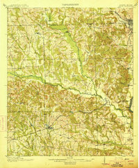
1914 · Seale
USGS Topo · 1:62,500
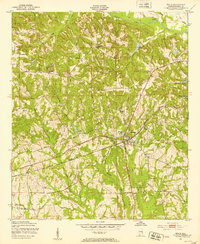
1950 · Seale
USGS Topo · 1:24,000
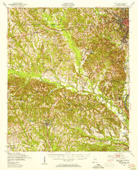
1950 · Seale
USGS Topo · 1:62,500
1955 · Seale
USGS Topo · 1:24,000
1955 · Seale
USGS Topo · 1:62,500
1955 · Phenix City
USGS Topo · 1:250,000
1957 · Phenix City
USGS Topo · 1:250,000
1957 · Pittsview
USGS Topo · 1:24,000
1958 · Phenix City
USGS Topo · 1:250,000
1973 · Batesville
USGS Topo · 1:24,000