
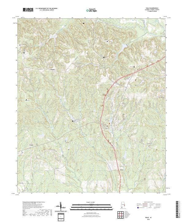
1955 Map of Seale
USGS Topo · Published 1961About this map
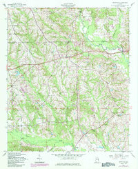
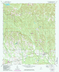
Fort Mitchell and the surrounding borderlands of East Alabama come to life in this mid-century topographic survey, where the Chattahoochee River defines the landscape's eastern edge. The map captures a transition from the developing urban sprawl of Phenix City in the north to the more agrarian communities of Seale and Oswichee to the south. This era is marked by a high density of rural institutions, such as Hilliards Chapel, Friendship Sch, and Uchee Hill Ch, reflecting a deeply established network of local communities. The Central of Georgia Railway cuts a prominent path through the terrain, connecting various settlements and serving as an industrial backbone near Brickyard and Flournoy. Extensive waterways like Uchee Creek and its many bridges, including Big Uchee Bridge, illustrate a landscape shaped by drainage and transport needs just before the massive infrastructure shifts of the late 20th century.
Find a feature on this map
64 named features on this map. Tap any name to fly to it.
Don’t see what you’re looking for? This feature index may not catch every label — zoom into the map to look around manually.
Map Details
Editions of this 1955 Seale Map
This is the sole edition of this map. No revisions or reprints were ever made.
Historical Maps of Phenix City Through Time
48 maps found
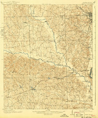
1914 Seale
Russell County, AL
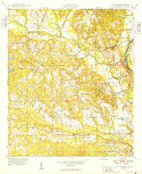
1949 Fort Mitchell
Russell County, AL
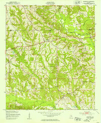
1950 Crawford
Russell County, AL
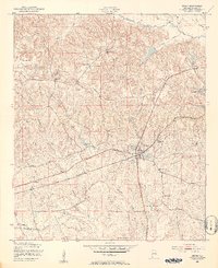
1950 Seale
Russell County, AL

1950 Seale
Russell County, AL
1955 Crawford
Russell County, AL
1955 Fort Mitchell
Russell County, AL
1955 Seale
Russell County, AL
1955 Seale
Russell County, AL
1957 Pittsview
Russell County, AL

1971 Marvyn
Russell County, AL
1973 Hatchechubbee
Russell County, AL
1973 Rutherford
Russell County, AL
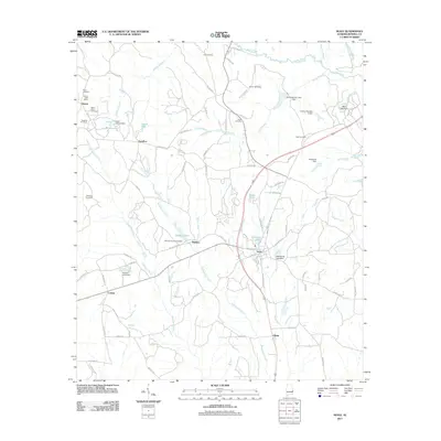
2011 Crawford
Russell County, AL
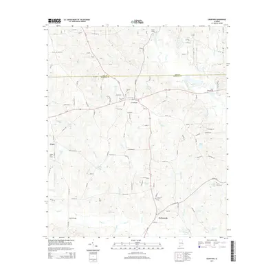
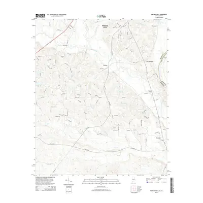
2011 Fort Mitchell
Russell County, AL
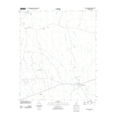
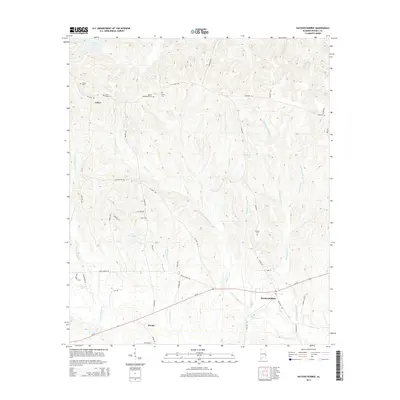
2011 Hatchechubbee
Russell County, AL
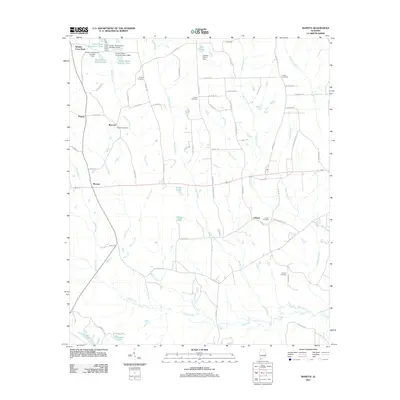
2011 Marvyn
Russell County, AL
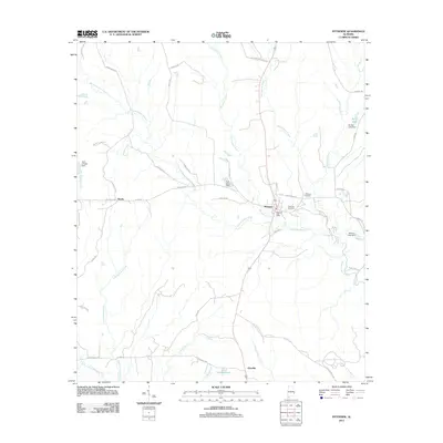
2011 Pittsview
Russell County, AL
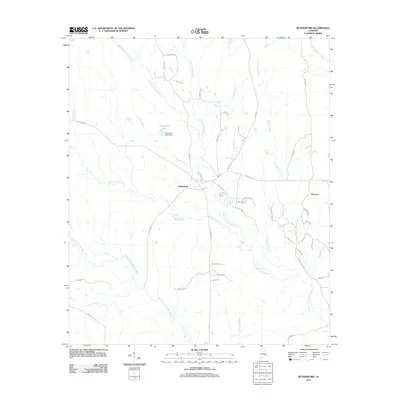
2011 Rutherford
Russell County, AL
2011 Seale
Russell County, AL
2014 Crawford
Russell County, AL
2014 Fort Mitchell
Russell County, AL
2014 Hatchechubbee
Russell County, AL
2014 Marvyn
Russell County, AL
2014 Pittsview
Russell County, AL
2014 Rutherford
Russell County, AL
2014 Seale
Russell County, AL
2018 Crawford
Russell County, AL
2018 Fort Mitchell
Russell County, AL
2018 Hatchechubbee
Russell County, AL
2018 Marvyn
Russell County, AL
2018 Pittsview
Russell County, AL
2018 Rutherford
Russell County, AL
2018 Seale
Russell County, AL
2020 Crawford
Russell County, AL
2020 Fort Mitchell
Russell County, AL
2020 Hatchechubbee
Russell County, AL
2020 Marvyn
Russell County, AL
2020 Pittsview
Russell County, AL
2020 Rutherford
Russell County, AL
2020 Seale
Russell County, AL
2024 Crawford
Russell County, AL

2024 Fort Mitchell
Russell County, AL
2024 Hatchechubbee
Russell County, AL
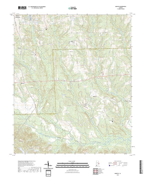
2024 Marvyn
Russell County, AL
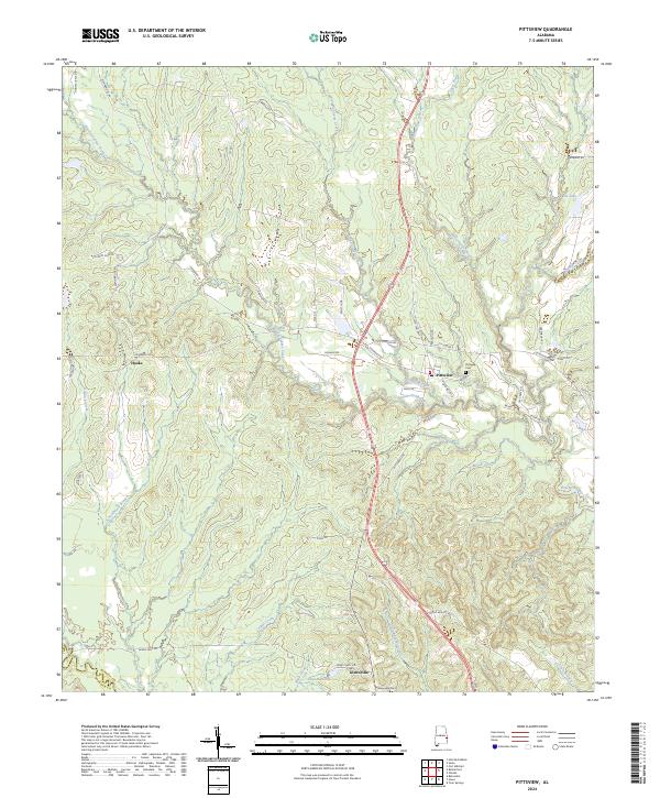
2024 Pittsview
Russell County, AL
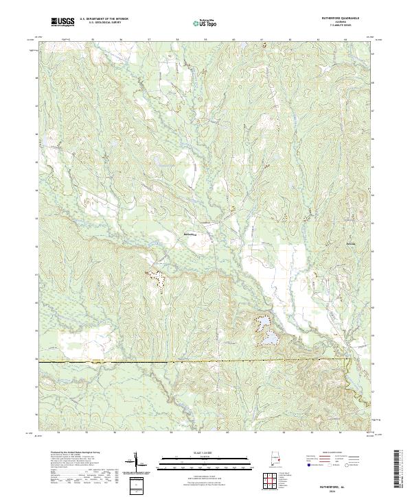
2024 Rutherford
Russell County, AL
2024 Seale
Russell County, AL