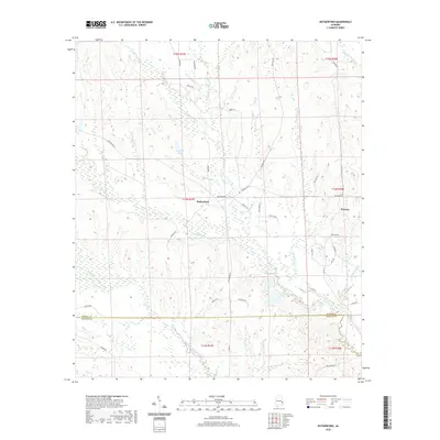
2020 Map of Rutherford
USGS Topo · Published 2020About this map
The community of Rutherford sits at the center of this rural landscape, defined by an intricate network of waterways that drain the borderlands between Russell and Barbour counties. The terrain is marked by the various branches of the Cowikee Creek system, including the N Fork Cowikee Cr and Middle Fork Cowikee Cr, which meander through a series of wetlands and bottomlands. To the east, the settlement of Persons is situated near Hatchechubbee Cr, illustrating how early agricultural settlement patterns in this part of Alabama followed the elevation breaks and water sources.
Find a feature on this map
47 named features on this map. Tap any name to fly to it.
Don’t see what you’re looking for? This feature index may not catch every label — zoom into the map to look around manually.
Map Details
Editions of this 2020 Rutherford Map
This is the sole edition of this map. No revisions or reprints were ever made.
Other maps of this area

1914 · Seale
USGS Topo · 1:62,500

1950 · Seale
USGS Topo · 1:24,000

1950 · Seale
USGS Topo · 1:62,500

1955 · Seale
USGS Topo · 1:24,000

1955 · Seale
USGS Topo · 1:62,500

1955 · Phenix City
USGS Topo · 1:250,000

1957 · Phenix City
USGS Topo · 1:250,000
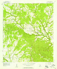
1957 · Pittsview
USGS Topo · 1:24,000

1958 · Phenix City
USGS Topo · 1:250,000
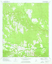
1973 · Batesville
USGS Topo · 1:24,000