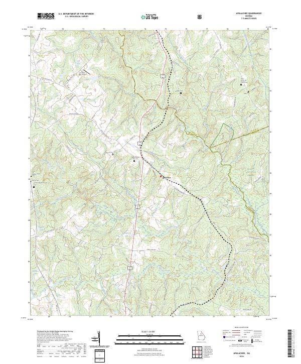
2024 Map of Rutledge North
USGS Topo · Published 2024About this map
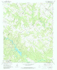
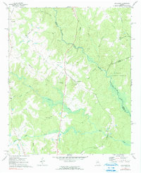
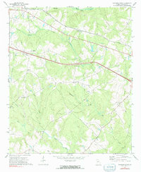
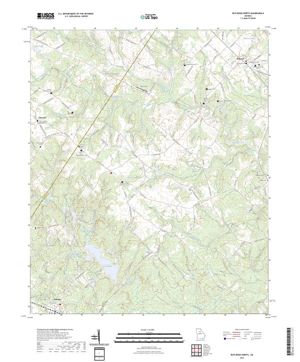
Bostwick and Rutledge anchor this portion of the Georgia Piedmont, where small rural settlements and agricultural holdings are defined by an intricate network of waterways. The landscape is bisected by the Walton Co Morgan Co line, with the CSX Transportation railroad corridor running through the southern town of Rutledge. The terrain is marked by numerous family-named landmarks and resting places, such as the Thomas and Knight Cem and the Almand - Malcolm Cem, reflecting a deep genealogy tied to the land. Larger water bodies like Lake Rutledge and Lake Brantley provide focal points amidst the many tributaries of Big Sandy Creek and Hard Labor Creek. Notable rural congregations are present throughout the area, including the Ebenezer Baptist Church Cem and the Prospect United Methodist Church Cem, which serve as long-standing community landmarks in this predominantly agricultural region.
Find a feature on this map
101 named features on this map. Tap any name to fly to it.
Don’t see what you’re looking for? This feature index may not catch every label — zoom into the map to look around manually.
Map Details
Editions of this 2024 Rutledge North Map
This is the sole edition of this map. No revisions or reprints were ever made.
Historical Maps of Fairplay Through Time
6 maps found