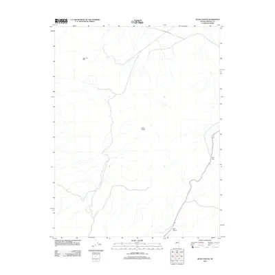
2011 Map of Ryan Canyon
USGS Topo · Published 2011About this map
The Gillis Range dominates this portion of the Mineral County landscape, showing the high-desert terrain of western Nevada in the early 21st century. The map provides a detailed view of the natural relief, including the Agai Pah Hills to the northwest. Modern infrastructure is limited to a few corridor routes that navigate the steep gaps in the topography, most notably through Ryan Pass and the winding course of Ryan Canyon in the southern portion of the sheet. To the north, Wildhorse Canyon Rd cuts across the high ground, illustrating the sparse network of mountain roads that link these isolated ranges. This survey is particularly useful for understanding the drainage patterns and geographical barriers that have historically dictated travel and land use in this arid region.
Find a feature on this map
5 named features on this map. Tap any name to fly to it.
Don’t see what you’re looking for? This feature index may not catch every label — zoom into the map to look around manually.
Map Details
Editions of this 2011 Ryan Canyon Map
This is the sole edition of this map. No revisions or reprints were ever made.
Other maps of this area
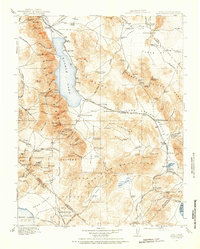
1909 · Hawthorne
USGS Topo · 1:250,000
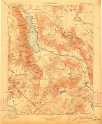
1911 · Hawthorne
USGS Topo · 1:250,000
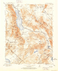
1915 · Hawthorne
USGS Topo · 1:250,000

1948 · Walker Lake
USGS Topo · 1:250,000
1955 · Hawthorne
USGS Topo · 1:62,500
1957 · Walker Lake
USGS Topo · 1:250,000
1962 · Walker Lake
USGS Topo · 1:250,000
1964 · Walker Lake
USGS Topo · 1:250,000
1964 · Gillis Canyon
USGS Topo · 1:62,500
1979 · Copper Mtn.
USGS Topo · 1:24,000