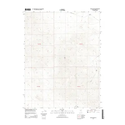
2014 Map of Ryan Canyon
USGS Topo · Published 2014About this map
The Gillis Range dominates the topography of this Mineral County quadrangle, defining a high-altitude desert environment with steep slopes and narrow passes. In the early 21st century, the primary access through this arid landscape is maintained via a handful of dirt routes, including Wildhorse Canyon Rd and Poleline Rd, which navigate the elevation changes of the central range. In the northeastern corner, the terrain softens into Buckley Flat, providing a contrast to the surrounding ridges. The landscape is marked by Ryan Canyon and Ryan Pass, traditional corridors through the mountains that reflect the fundamental reliance on natural landforms for transit in the Great Basin. This survey records the Public Land Survey System grid across four townships, illustrating how the vast open spaces of Nevada are organized into townships and ranges.
Find a feature on this map
10 named features on this map. Tap any name to fly to it.
Don’t see what you’re looking for? This feature index may not catch every label — zoom into the map to look around manually.
Map Details
Editions of this 2014 Ryan Canyon Map
This is the sole edition of this map. No revisions or reprints were ever made.
Other maps of this area
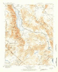
1909 · Hawthorne
USGS Topo · 1:250,000
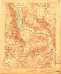
1911 · Hawthorne
USGS Topo · 1:250,000
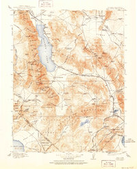
1915 · Hawthorne
USGS Topo · 1:250,000

1948 · Walker Lake
USGS Topo · 1:250,000
1955 · Hawthorne
USGS Topo · 1:62,500
1957 · Walker Lake
USGS Topo · 1:250,000
1962 · Walker Lake
USGS Topo · 1:250,000
1964 · Walker Lake
USGS Topo · 1:250,000
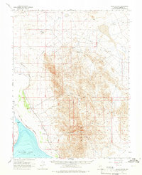
1964 · Gillis Canyon
USGS Topo · 1:62,500
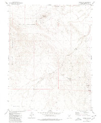
1979 · Copper Mtn.
USGS Topo · 1:24,000