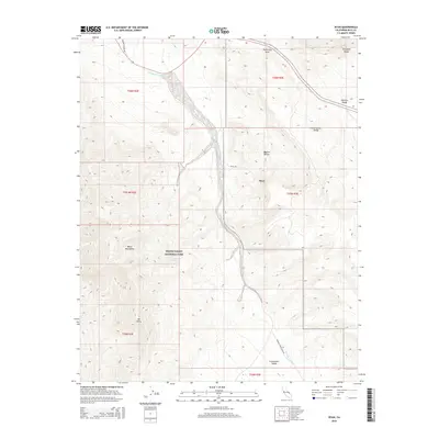
2015 Map of Ryan
USGS Topo · Published 2015About this map
The Death Valley National Park landscape dominates this survey, centered on the historic mining settlement of Ryan. Located in the eastern reaches of the park, the area is defined by the complex topography where the Amargosa Range and the Black Mountains converge. The intricate network of alluvial fans and desert washes is anchored by Furnace Creek Wash, which carves a path through the Mojave Desert terrain between the Monitor Range and the Greenwater Range. Researchers will find significant topographical detail surrounding Mt Perry and the high ridges overlooking the Greenwater Valley. Rare water sources, such as Lemonade Spring, provide critical points of interest in an otherwise arid environment. The map also delineates the high-altitude vantage of Travertine Point and the access provided by Nevares Springs Rd, documenting the contemporary infrastructure within this protected wilderness.
Find a feature on this map
21 named features on this map. Tap any name to fly to it.
Don’t see what you’re looking for? This feature index may not catch every label — zoom into the map to look around manually.
Map Details
Editions of this 2015 Ryan Map
This is the sole edition of this map. No revisions or reprints were ever made.
Other maps of this area
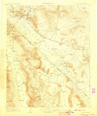
1908 · Furnace Creek
USGS Topo · 1:250,000
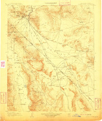
1910 · Furnace Creek
USGS Topo · 1:250,000
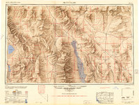
1948 · Death Valley
USGS Topo · 1:250,000
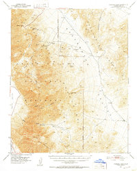
1951 · Funeral Peak
USGS Topo · 1:62,500
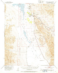
1952 · Furnace Creek
USGS Topo · 1:62,500
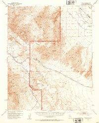
1952 · Ryan
USGS Topo · 1:62,500
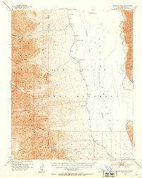
1952 · Bennetts Well
USGS Topo · 1:62,500
1954 · Death Valley
USGS Topo · 1:250,000
1956 · Death Valley
USGS Topo · 1:250,000
1957 · Death Valley
USGS Topo · 1:250,000