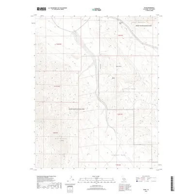
2018 Map of Ryan
USGS Topo · Published 2018About this map
Ryan sits along the steep eastern slopes of the Black Mountains, a location defined by the dramatic topography of Death Valley National Park. This 2018 survey documents a region where water is a rare and vital landmark, evidenced by Lemonade Spring and the drainage of Furnace Cr Wash. The landscape is framed by several distinct ranges, including the Funeral Mountains to the north and the Greenwater Range to the east, which flank the wide expanse of Greenwater Valley. High-altitude features like Mt Perry overlook the Mojave Desert floor, while Dantes View Rd winds through the terrain to reach prominent overlooks. This map illustrates the transition from the rugged mountain peaks to the alluvial washes that characterize this portion of the park.
Find a feature on this map
18 named features on this map. Tap any name to fly to it.
Don’t see what you’re looking for? This feature index may not catch every label — zoom into the map to look around manually.
Map Details
Editions of this 2018 Ryan Map
This is the sole edition of this map. No revisions or reprints were ever made.
Other maps of this area
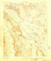
1908 · Furnace Creek
USGS Topo · 1:250,000
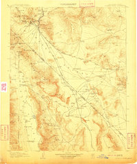
1910 · Furnace Creek
USGS Topo · 1:250,000
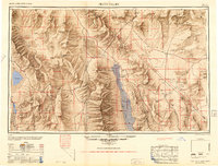
1948 · Death Valley
USGS Topo · 1:250,000
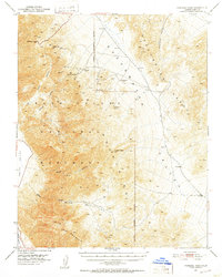
1951 · Funeral Peak
USGS Topo · 1:62,500
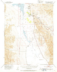
1952 · Furnace Creek
USGS Topo · 1:62,500
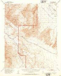
1952 · Ryan
USGS Topo · 1:62,500
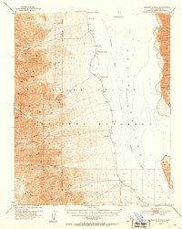
1952 · Bennetts Well
USGS Topo · 1:62,500
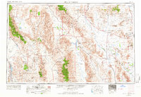
1954 · Death Valley
USGS Topo · 1:250,000
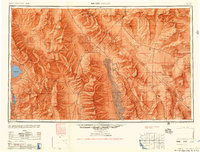
1956 · Death Valley
USGS Topo · 1:250,000
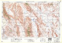
1957 · Death Valley
USGS Topo · 1:250,000