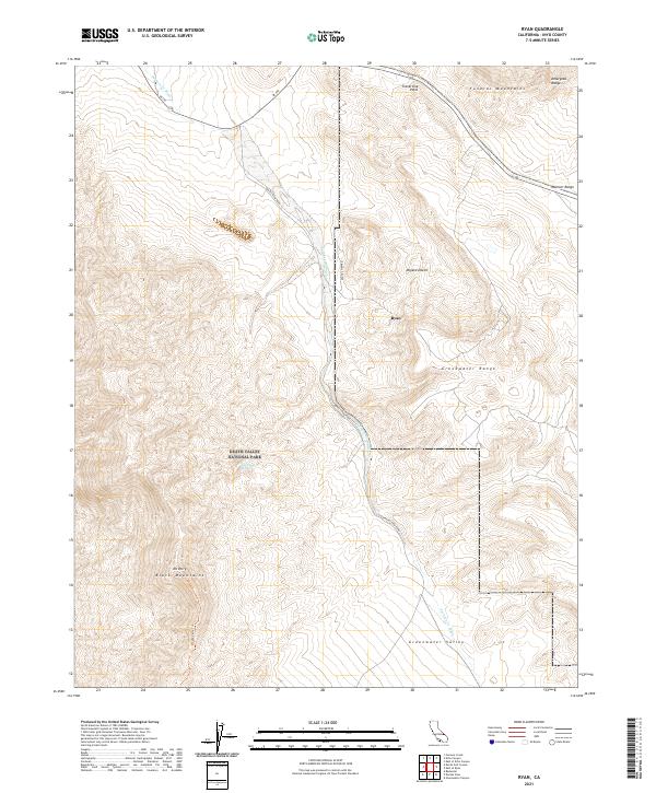
2021 Map of Ryan
USGS Topo · Published 2021About this map
Ryan stands as a focal point in this high-altitude desert landscape, situated within the vast expanse of Death Valley National Park. The settlement is positioned on the edge of the Mojave Desert, where the drainages of Furnace Cr Wash cut through the arid terrain. This 2021 survey reveals a complex network of geological formations, including the Funeral Mountains and the Amargosa Range to the north, while the Black Mountains and Mt Perry dominate the southwestern quadrant. The transport infrastructure is defined by the winding path of Dantes View Road and the Mount Perry Trl, providing access to elevated overlooks like Travertine Point. The map illustrates the harsh topographical transition from the deep troughs of Greenwater Valley to the heights of the Greenwater Range, reflecting the extreme elevation changes characteristic of this portion of Inyo County.
Find a feature on this map
20 named features on this map. Tap any name to fly to it.
Don’t see what you’re looking for? This feature index may not catch every label — zoom into the map to look around manually.
Map Details
Editions of this 2021 Ryan Map
This is the sole edition of this map. No revisions or reprints were ever made.
Other maps of this area

1908 · Furnace Creek
USGS Topo · 1:250,000

1910 · Furnace Creek
USGS Topo · 1:250,000

1948 · Death Valley
USGS Topo · 1:250,000

1951 · Funeral Peak
USGS Topo · 1:62,500

1952 · Furnace Creek
USGS Topo · 1:62,500

1952 · Ryan
USGS Topo · 1:62,500

1952 · Bennetts Well
USGS Topo · 1:62,500

1954 · Death Valley
USGS Topo · 1:250,000

1956 · Death Valley
USGS Topo · 1:250,000

1957 · Death Valley
USGS Topo · 1:250,000