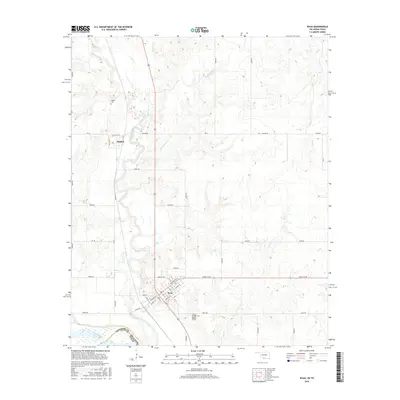
2016 Map of Ryan
USGS Topo · Published 2016About this map
Ryan serves as the primary hub of this southern Oklahoma landscape, situated just north of the Red River where Jefferson County meets Clay County, Texas. The town's grid is meticulously defined by streets like Washington St, Main St, and Lincoln St, reflecting a regional center established before modern interstate travel. North of town, the smaller community of Sugden sits near the winding course of Beaver Creek, a major drainage that dominates the western half of the survey.
Find a feature on this map
47 named features on this map. Tap any name to fly to it.
Don’t see what you’re looking for? This feature index may not catch every label — zoom into the map to look around manually.
Map Details
Editions of this 2016 Ryan Map
This is the sole edition of this map. No revisions or reprints were ever made.
Other maps of this area

1901 · Addington
USGS Topo · 1:125,000

1905 · Montague
USGS Topo · 1:125,000

1954 · Sherman
USGS Topo · 1:250,000

1954 · Wichita Falls
USGS Topo · 1:250,000

1955 · Lawton
USGS Topo · 1:250,000

1956 · Henrietta
USGS Topo · 1:62,500

1957 · Hastings
USGS Topo · 1:62,500

1957 · Ardmore
USGS Topo · 1:250,000

1958 · Wichita Falls
USGS Topo · 1:250,000

1958 · Sherman
USGS Topo · 1:250,000