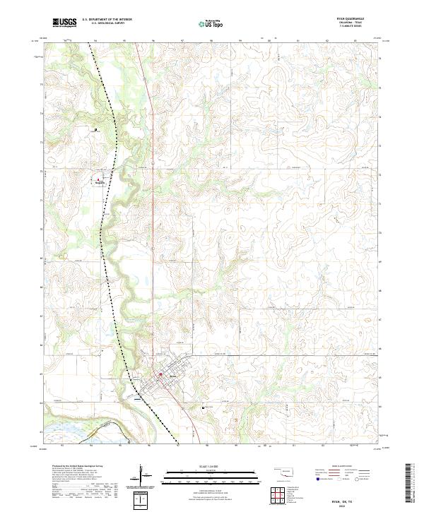
2022 Map of Ryan
USGS Topo · Published 2022About this map
Ryan serves as the primary population center in this corner of Jefferson County, where the street grid is clearly defined by numbered streets and namesake thoroughfares like Washington St and Main St. The landscape is dominated by the meandering course of Beaver Creek and its many tributaries, including Squirrel Creek and Hackberry Creek, which drain toward the prominent boundary of the Red River. This river marks the state line between Oklahoma and Texas at the southern edge of the map.
Find a feature on this map
56 named features on this map. Tap any name to fly to it.
Don’t see what you’re looking for? This feature index may not catch every label — zoom into the map to look around manually.
Map Details
Editions of this 2022 Ryan Map
This is the sole edition of this map. No revisions or reprints were ever made.
Other maps of this area

1901 · Addington
USGS Topo · 1:125,000

1905 · Montague
USGS Topo · 1:125,000

1954 · Sherman
USGS Topo · 1:250,000

1954 · Wichita Falls
USGS Topo · 1:250,000

1955 · Lawton
USGS Topo · 1:250,000

1956 · Henrietta
USGS Topo · 1:62,500

1957 · Hastings
USGS Topo · 1:62,500

1957 · Ardmore
USGS Topo · 1:250,000

1958 · Wichita Falls
USGS Topo · 1:250,000

1958 · Sherman
USGS Topo · 1:250,000