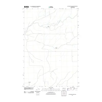
2011 Map of Rye Grass Coulee
USGS Topo · Published 2011About this map
Smith Canyon and Rye Grass Coulee define the drainage and topography of this Franklin County landscape, reflecting the geologic history of eastern Washington. This 2011 survey illustrates a sparse, agricultural infrastructure characterized by a grid of rural routes such as Statsney Rd, Blanton Rd, and Blackman Ridge Rd. A notable modern landmark is the Columbia Ag 2 Airport, situated in the southwestern corner of the quadrangle. The naming of roads like Smith Canyon Rd and Hummel Ln suggests the lineage of local landowning families who established the homesteads and farming operations in this arid region. The map provides a clear view of how irrigation and agricultural access have shaped the placement of roads like E Elm Rd around the natural coulees.
Find a feature on this map
10 named features on this map. Tap any name to fly to it.
Don’t see what you’re looking for? This feature index may not catch every label — zoom into the map to look around manually.
Map Details
Editions of this 2011 Rye Grass Coulee Map
This is the sole edition of this map. No revisions or reprints were ever made.
Other maps of this area

1915 · Wallulah
USGS Topo · 1:96,000

1916 · Connell
USGS Topo · 1:125,000

1917 · Pasco
USGS Topo · 1:125,000

1918 · Connell
USGS Topo · 1:125,000

1918 · Wallula
USGS Topo · 1:125,000

1925 · Scooteney Lake
USGS Topo · 1:62,500

1951 · Scooteney Lake
USGS Topo · 1:62,500

1953 · Walla Walla
USGS Topo · 1:250,000

1958 · Walla Walla
USGS Topo · 1:250,000

1963 · Rye Grass Coulee
USGS Topo · 1:24,000