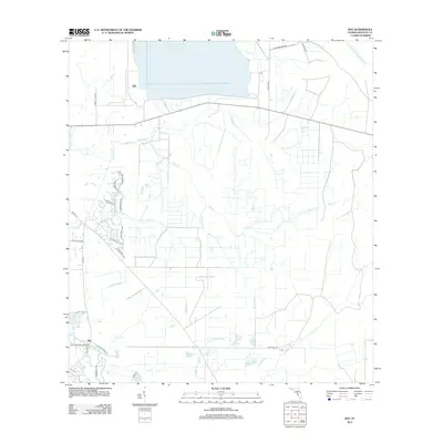
2012 Map of Rye
USGS Topo · Published 2012About this map
Rye sits at the southwestern corner of this landscape, positioned where the Manatee River meets its local tributaries. The area is defined by a dense network of hydrologic features including Gamble Creek, Water Hole Creek, and the many prongs and branches like Harvey Prong and Rye Branch that drain toward the coast. This 2012 survey illustrates the transition of the Florida interior into residential developments, marked by modern street layouts such as Lake Paddock Cir and Foxbrook Trl alongside traditional rural thoroughfares.
Find a feature on this map
35 named features on this map. Tap any name to fly to it.
Don’t see what you’re looking for? This feature index may not catch every label — zoom into the map to look around manually.
Map Details
Editions of this 2012 Rye Map
This is the sole edition of this map. No revisions or reprints were ever made.
Other maps of this area
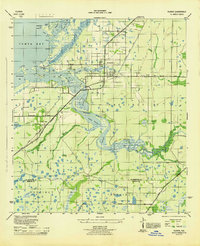
1944 · Ruskin
USGS Topo · 1:31,680
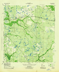
1944 · Rye
USGS Topo · 1:31,680
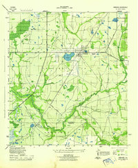
1944 · Wimauma
USGS Topo · 1:31,680
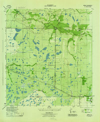
1944 · Verna
USGS Topo · 1:31,680
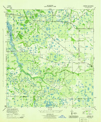
1944 · Lorraine
USGS Topo · 1:31,680
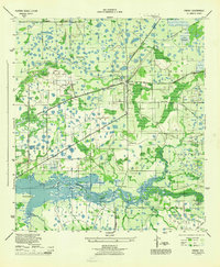
1944 · Parish
USGS Topo · 1:31,680
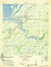
1947 · Ruskin
USGS Topo · 1:25,000
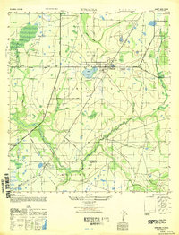
1947 · Wimauma
USGS Topo · 1:25,000
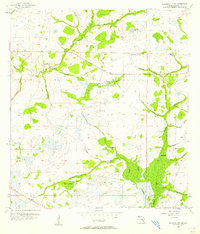
1956 · Myakka City NW
USGS Topo · 1:24,000
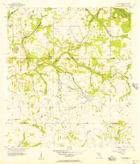
1956 · Ft Lonesome
USGS Topo · 1:24,000