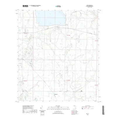
2018 Map of Rye
USGS Topo · Published 2018About this map
The Manatee River and its expansive southern wetlands anchor this interior Florida landscape, where the settlements of Rye, Manhattan, and Oak Knoll mark the rural development of Manatee County. The terrain is defined by an intricate network of waterways, including Gamble Cr, Tyre Cr, and the channelized Erie Canal, which speak to the region's long history of water management for agriculture and drainage. In the north, the S Fork Little Manatee River meanders through the landscape, while the Sand Prairie offers a distinct ecological counterpoint to the densely hydrated lowlands.
Find a feature on this map
44 named features on this map. Tap any name to fly to it.
Don’t see what you’re looking for? This feature index may not catch every label — zoom into the map to look around manually.
Map Details
Editions of this 2018 Rye Map
This is the sole edition of this map. No revisions or reprints were ever made.
Other maps of this area

1944 · Ruskin
USGS Topo · 1:31,680

1944 · Rye
USGS Topo · 1:31,680

1944 · Wimauma
USGS Topo · 1:31,680

1944 · Verna
USGS Topo · 1:31,680

1944 · Lorraine
USGS Topo · 1:31,680

1944 · Parish
USGS Topo · 1:31,680

1947 · Ruskin
USGS Topo · 1:25,000

1947 · Wimauma
USGS Topo · 1:25,000

1956 · Myakka City NW
USGS Topo · 1:24,000

1956 · Ft Lonesome
USGS Topo · 1:24,000