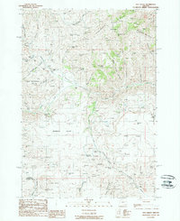
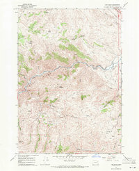
1988 Map of Rye Valley
USGS Topo · Published 1988About this map
The gold-mining legacy of Eastern Oregon is clearly defined across Rye Valley in this late 1980s topographical study. A series of Placer Mine and Placer Mines labels follow the drainages of Rattlesnake Gulch and the North Fork, illustrating the intensity of extraction in this corner of the state. These operations, coupled with the presence of a lone Cem in the northern valley, point to the localized settlement patterns that once thrived around these mineral deposits.
Find a feature on this map
51 named features on this map. Tap any name to fly to it.
Don’t see what you’re looking for? This feature index may not catch every label — zoom into the map to look around manually.
Map Details
Editions of this 1988 Rye Valley Map
This is the sole edition of this map. No revisions or reprints were ever made.
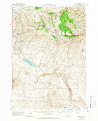
Other maps of this area

1901 · Baker City
USGS Topo · 1:125,000

1915 · Pine
USGS Topo · 1:125,000
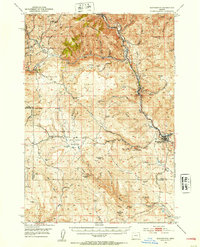
1951 · Huntington
USGS Topo · 1:62,500

1955 · Baker
USGS Topo · 1:250,000
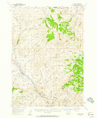
1957 · Durkee
USGS Topo · 1:62,500

1959 · Baker
USGS Topo · 1:250,000
1964 · Bridgeport
USGS Topo · 1:62,500
1967 · Lost Basin
USGS Topo · 1:24,000

1980 · Brogan
USGS Topo · 1:100,000
1981 · Baker
USGS Topo · 1:100,000