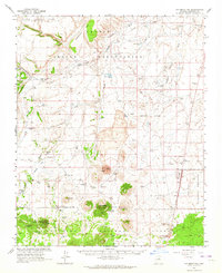
1962 Map of S P Mountain
USGS Topo · Published 1964About this map
Volcanic landforms and high-desert water management define this Coconino County landscape during the early 1960s. The prominent S P Mtn S P Crater stands at the center of a geologic field marked by Crater 160, Red Hill, and Antelope Hill. This survey highlights the complex borderlands where the Navajo Indian Reservation meets the Kaibab National Forest and Coconino National Forest.
Find a feature on this map
53 named features on this map. Tap any name to fly to it.
Don’t see what you’re looking for? This feature index may not catch every label — zoom into the map to look around manually.
Map Details
Editions of this 1962 S P Mountain Map
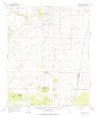
2 editions found
Other maps of this area

1886 · San Francisco Mtns
USGS Topo · 1:250,000

1891 · San Francisco Mtns
USGS Topo · 1:250,000

1894 · San Francisco Mtns
USGS Topo · 1:250,000

1899 · San Francisco Mtns
USGS Topo · 1:250,000

1908 · Flagstaff
USGS Topo · 1:125,000

1912 · Flagstaff
USGS Topo · 1:125,000

1947 · Flagstaff
USGS Topo · 1:250,000

1954 · Flagstaff
USGS Topo · 1:250,000

1955 · Coconino Pt SE
USGS Topo · 1:24,000

1955 · Cameron SW
USGS Topo · 1:24,000