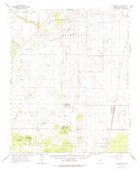
1962 Map of S P Mountain
USGS Topo · Published 1975About this map
Volcanic landforms dominate this high-desert landscape within the Coconino National Forest and the Navajo Indian Reservation. The distinct symmetry of S P Crater and the larger bowl of Colton Crater serve as primary landmarks in a region defined by extensive lava flows. Human presence is sparse, marked by isolated outposts such as Hanks Trading Post and Aso Ranch, reflecting the difficult environment of the San Francisco Volcanic Field.
Find a feature on this map
28 named features on this map. Tap any name to fly to it.
Don’t see what you’re looking for? This feature index may not catch every label — zoom into the map to look around manually.
Map Details
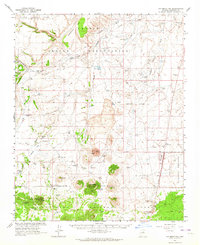
Editions of this 1962 S P Mountain Map
2 editions found
Other maps of this area

1886 · San Francisco Mtns
USGS Topo · 1:250,000

1891 · San Francisco Mtns
USGS Topo · 1:250,000

1894 · San Francisco Mtns
USGS Topo · 1:250,000

1899 · San Francisco Mtns
USGS Topo · 1:250,000

1908 · Flagstaff
USGS Topo · 1:125,000

1912 · Flagstaff
USGS Topo · 1:125,000

1947 · Flagstaff
USGS Topo · 1:250,000

1954 · Flagstaff
USGS Topo · 1:250,000

1955 · Coconino Pt SE
USGS Topo · 1:24,000

1955 · Cameron SW
USGS Topo · 1:24,000