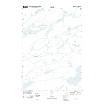
2013 Map of Sabattis
USGS Topo · Published 2013About this map
Sabattis and Robinwood anchor this remote landscape in Hamilton and Saint Lawrence counties, where the Adirondack wilderness is defined by an intricate network of glacial ponds and narrow rivers. The Bog River flows through the northern reaches, connecting Hitchins Pond and the expansive waters of Lows Lake. The topography is dominated by several prominent peaks, including Iron Mountain and Silver Lake Mountain, while the southern portion of the sheet features the substantial waters of Lake Lila and Little Tupper Lake. This area reflects a classic Adirondack pattern of limited road access, with Sabattis Rd and Lake Lila Rd providing some of the few land-based entry points into a terrain dominated by water and high ground like Loon Pond Mountain. The distribution of features like Antediluvian Pond and Bettner Ponds suggests a landscape largely shaped by its natural hydrology rather than intensive development.
Find a feature on this map
34 named features on this map. Tap any name to fly to it.
Don’t see what you’re looking for? This feature index may not catch every label — zoom into the map to look around manually.
Map Details
Editions of this 2013 Sabattis Map
This is the sole edition of this map. No revisions or reprints were ever made.
Other maps of this area

1903 · Big Moose
USGS Topo · 1:62,500

1903 · Raquette Lake
USGS Topo · 1:62,500

1907 · Tupper Lake
USGS Topo · 1:62,500

1919 · Cranberry Lake
USGS Topo · 1:62,500

1921 · Cranberry Lake
USGS Topo · 1:62,500

1931 · Cranberry Lake
USGS Topo · 1:62,500

1948 · Ogdensburg
USGS Topo · 1:250,000

1950 · Utica
USGS Topo · 1:250,000

1951 · Ogdensburg
USGS Topo · 1:250,000

1953 · Ogdensburg
USGS Topo · 1:250,000